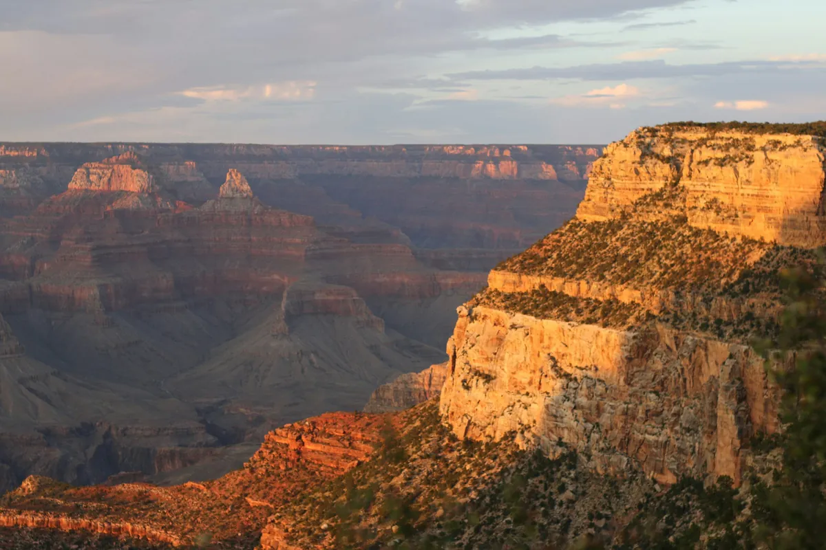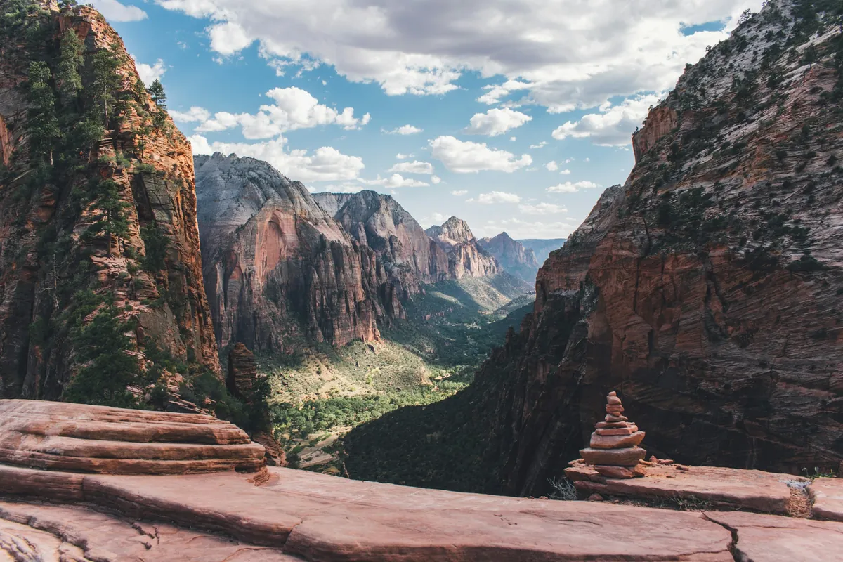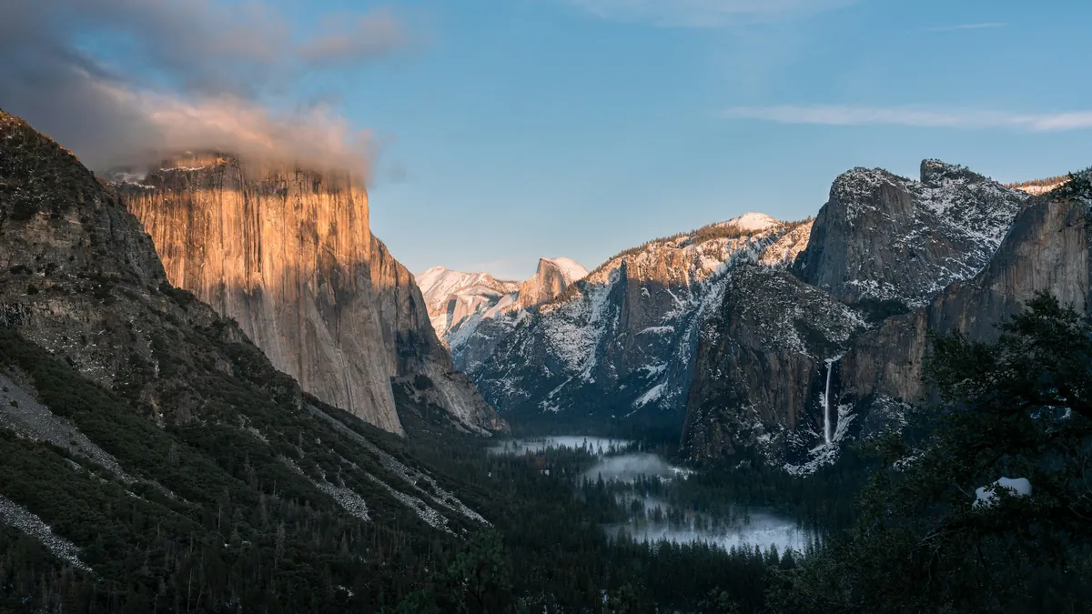
From 2026, foreign visitors pay an extra $100 per person at the Grand Canyon, Zion and Yosemite. Death Valley isn't on that list: $30 per car, good for 7 days. But the risks here aren't about the fee. The park takes cards only, GPS sends drivers onto closed dirt roads, most of the park has no signal, there are only 3 gas stations, and people who walk away from a stuck car get into serious trouble every year. This guide walks through the 7 most common mistakes, each with a fix, then one- and two-day plans, where to stay, camping and stargazing.
Key facts
- Death Valley got its name more than a hundred years ago. Today, it's actually one of the easiest parks in the American West to plan: the fee is low, winter is comfortable, and most of the roads have been repaired.
- What it really tests isn't whether you can take the heat. It's whether you prepared: a full tank, enough water, offline maps, and a check of road conditions. And if your car stops out there, stay with it.
- Do those few things, and Death Valley will show you the least Earth-like landscape on Earth.
- That's it for this guide. Next time, we'll keep going to more national parks in the American West. If you're planning this trip and have questions, leave them in the comments.

▶ Watch the video · YouTube
First, the shape of Death Valley
Before we start, let's take one minute to understand the layout.
Highway 190 crosses the whole park from east to west. In the middle is Furnace Creek, with the visitor center, lodging and gas. To the northwest is Stovepipe Wells, and over the mountains to the west is Panamint Springs. To the south is Badwater Basin, the lowest point in North America.
How do you get there? Roads come into Death Valley from all four directions, depending on where you start. Let's begin with the most popular: Las Vegas.
From Las Vegas there are three common routes, all a little over two hours. The first goes southwest on Highway 160 through Pahrump to Death Valley Junction, then into the park on 190. It's the easiest route for gas. The second takes 95 north and turns in at Amargosa Valley, about ten minutes faster. The third follows 95 all the way to Beatty, Nevada, then heads west into the park. Just outside Beatty there's a ghost town called Rhyolite, worth a quick stop.
From Los Angeles it's about four and a half to five hours, with two routes. One goes north on Highways 14 and 395, then east over the mountains, entering from the west at Panamint Springs. The other takes Interstate 15 to Baker, then Highway 127 north through Shoshone, entering from the southeast. Baker has plenty of gas stations. After Baker, there are only small towns like Shoshone along the way.
From the north or west, say the San Francisco Bay Area, Yosemite or Lone Pine, you come south on Highway 395, turn onto 136 near Lone Pine, then take 190 east over the mountains to Panamint Springs. From Lone Pine to Furnace Creek is about an hour and 45 minutes. In winter, note that Tioga Pass on Yosemite's east side is usually closed, so from the Bay Area you'll have to go around to the south.
From northern Nevada, such as Reno or Tonopah, take Highway 95 south all the way to Beatty, then head west into the park. Beatty to Furnace Creek is about 45 minutes. If you're coming from the Grand Canyon or Zion, you'll almost always go through Las Vegas first, then take one of the routes I just described.
Whichever way you go, remember one rule: the last town before the park is your last cheap fill-up and your last reliable cell signal.
When should you go? Right now. In November, Furnace Creek averages 77 degrees in the day and 48 at night. In December, 65 and 38. All the way through March, this is Death Valley's most comfortable season. Summer is a different story: Furnace Creek recorded 134 degrees in 1913, still the hottest temperature ever measured on Earth.
Winter can also bring a surprise. Last November was the wettest November on record here, with 1.76 inches of rain. Then this March, Death Valley had its best wildflower bloom since 2016, right north of the visitor center and along Badwater Road. Blooms don't happen every year. It depends on how much rain fell the winter before.
Mistake one: paying cash
The first mistake happens right at the entrance.
Death Valley's entrance fee is 30 dollars per private vehicle, valid for seven days, covering everyone inside. Motorcycles are 25 dollars, and on foot or by bike it's 15 dollars per person.
But the park only takes cards and digital payments. No cash. Plenty of people show up with a wallet full of dollars and find out at the pay station that they can't pay. The easiest fix is to buy a digital pass online before you go and keep it on your phone, because once you're inside, you may not have a signal.
There's one more calculation worth doing. This year the Grand Canyon and Zion charge international visitors an extra 100 dollars each, and Death Valley does not. But if this trip includes the Grand Canyon, Zion and Death Valley, just buy the 250-dollar nonresident annual pass. One pass covers everyone in your car, and across three parks it's far cheaper than paying one by one.
Mistake two: trusting the GPS
The second mistake is handing the wheel to your navigation.
The park website has one sentence in all capital letters: do not depend only on your vehicle GPS. The reason is simple. In a place this remote, GPS often sends people to dead ends or onto dirt roads that are closed.
Death Valley doesn't even have a street address. The official advice: set your destination to the coordinates of the Furnace Creek Visitor Center, carry an up-to-date paper map, and download the whole park as an offline map on your phone ahead of time.
The most important rule: if your navigation tells you to turn onto an unpaved road and you're driving an ordinary car, don't. Even the park's well-known dirt roads have limits. Twenty Mule Team Canyon, for example, is a one-way dirt road where trailers and RVs aren't allowed.
Mistake three: expecting a signal
The third mistake goes with the second: assuming your phone will have a signal.
Most of Death Valley has no cell service, including most of its roads. In the whole park, only The Ranch at Furnace Creek sells Wi-Fi. In the park's own words: help may be many hours away, so be prepared to rescue yourself.
So do three things before you go. First, tell someone who isn't traveling with you where you're going today and roughly when you'll be back. Second, save your maps, your pass and your booking confirmations on your phone. Third, keep an extra power bank in the car.
Mistake four: following an old guide
The fourth mistake is setting off with a guide written years ago.
Last August, September and November, flash floods hit Death Valley one after another, washing out roads and burying them in rock. Some are fixed: North Highway, Ubehebe Crater Road and Artists Drive reopened last December.
But as of early this month, plenty of places are still off limits. Scotty's Castle and the road to it are still under repair with no reopening date, and you can't walk in either. The famous dirt road through Titus Canyon is expected to reopen in May 2027. The dirt road to Darwin Falls is expected to reopen in summer 2027. Until then, you can park on the shoulder of Highway 190 and walk in. And a storm on October 22 this year washed out Lower Wildrose Road again.
So every morning before you head out, check the road conditions page on the park website. One more thing few people notice: the park has several planned power outages over the next two months, which can affect services, cell signal and EV charging. I've put the dates in the description.
Mistake five: not filling the tank
The fifth mistake is the classic one: driving in without a full tank.
There are only three gas stations in the entire park. The Oasis at Furnace Creek has two grades of gasoline and diesel. Panamint Springs has gasoline and diesel. Stovepipe Wells is open 24 hours, but has only 87 octane and no diesel.
The station I mentioned at the start, with only one grade of gas and no diesel, is Stovepipe Wells. If you've rented a diesel RV and come in from the west, you can't fill up at Stovepipe Wells.
Gas inside the park costs noticeably more than outside, so it's best to fill up before you enter. Coming from Las Vegas, the last big town before the park is Pahrump. From the northeast, it's Beatty, Nevada.
If you're driving an EV, you need to plan even more carefully. There is no fast charging anywhere in the park. The nearest fast charger to Furnace Creek is in Beatty, 43 miles away: a Tesla Supercharger with eight stalls, up to 150 kilowatts, and for Teslas only. The park warns that during busy holidays, you shouldn't count on a free spot in Beatty.
Inside the park there are only Level 2 chargers: four each at The Inn and The Ranch at Furnace Creek, best used overnight, and four next to the general store at Stovepipe Wells, up to 19.2 kilowatts each. If you're not driving a Tesla, charge to full before you enter Death Valley, and plan to stay somewhere with chargers.
Mistake six: walking away from the car
The sixth mistake is the first instinct I mentioned at the start: your car breaks down or gets stuck, so you get out and walk for help.
Back to that French visitor. After the car got stuck, the two men set out on foot across the salt flats in 116-degree heat. After a little over a mile, he couldn't go on. His companion kept walking alone, finally flagged down a car and got to the visitor center to report it. When a helicopter crew found him, he was about a mile and a half from the road, and he had already died.
The park's advice is clear: if your car breaks down, the safest choice is usually to stay with it. The car gives you shade, and from the air, a car is much easier to spot than a person.
Remember that advice together with another one: drink at least one gallon of water per person per day. Pack enough water for the number of people and the number of days, and then some.
And here's a number many people don't expect: the most common cause of death in Death Valley isn't heat. It's single-vehicle rollovers. The roads are straight and empty, and it's easy to keep speeding up. So drive the speed limit, use a low gear on long downhills, and make sure everyone wears a seatbelt.
Mistake seven: bad timing
The last mistake is getting your timing wrong. In Death Valley, the same place at sunrise and at noon are two completely different experiences.
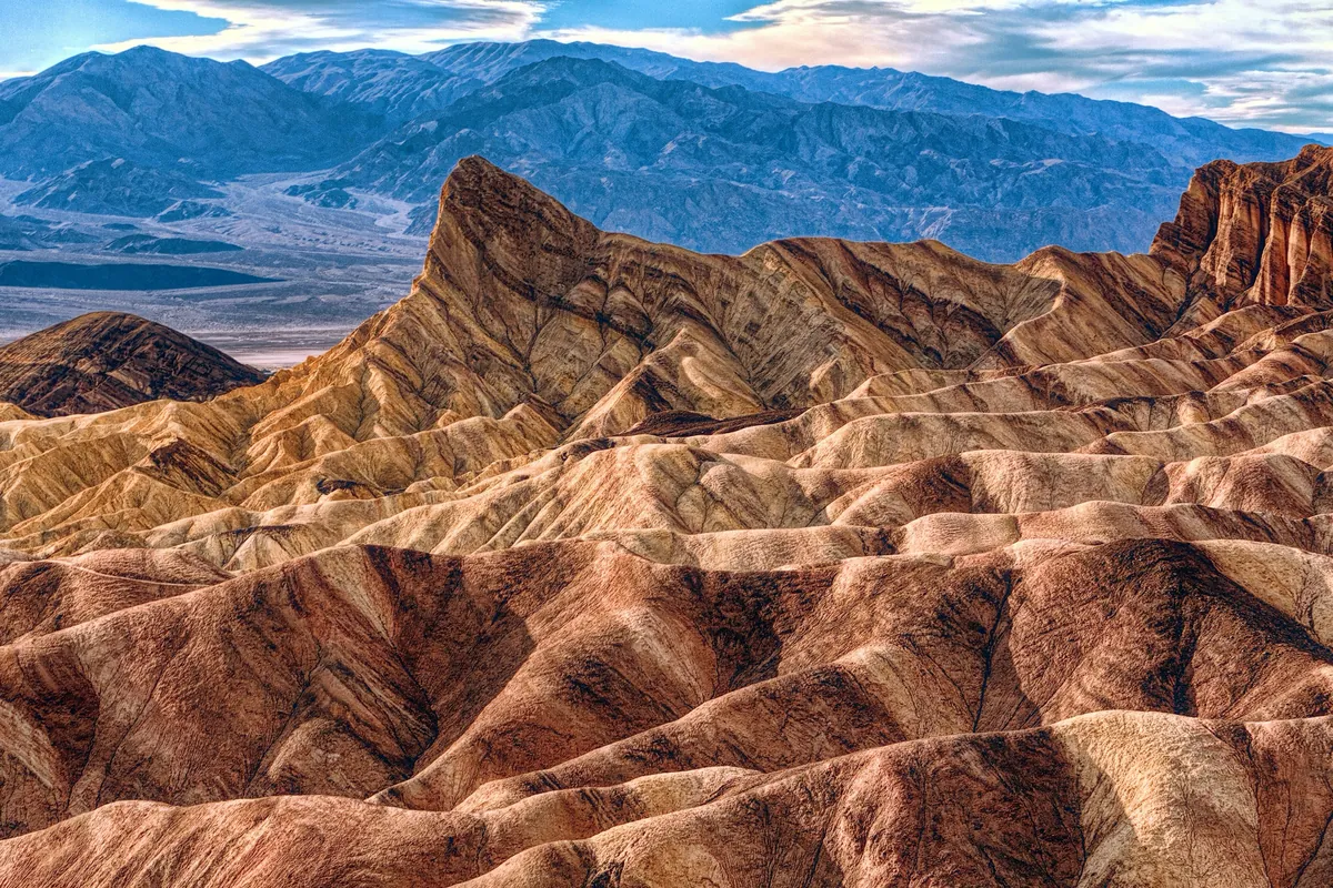
At sunrise, go to Zabriskie Point. Stand up high and watch the sun slowly light up the golden, wave-like hills below.
In the morning, drive south to Badwater Basin, 282 feet below sea level, the lowest point in North America. Walk the boardwalk out onto the salt flat, so white it looks like ice. In winter, the morning temperature is just right. In summer, stay off it after 10 a.m.
On the way back, take Artists Drive, a one-way road about nine miles long. In afternoon light, the colors of the Artist's Palette hillside are at their strongest. Note that vehicles over 25 feet aren't allowed.
For the evening, you have two choices. One is to drive up to Dante's View, at 5,475 feet, with Badwater Basin right below you, almost a vertical mile down. It's windy up there and much colder than the valley floor, so bring a jacket. The last six miles are closed to vehicles 25 feet and longer. Dante's View is about 24 miles from Furnace Creek, so allow at least 40 minutes each way. The other choice is the Mesquite Flat Sand Dunes next to Stovepipe Wells, where the sunset stretches the shadows across the dunes.
Winter has its own traps. The valley floor reaches the 70s in the day but drops to the 40s or even 30s at night, and it's colder still in the mountains, so bring a jacket. And when it's raining, or rain is in the forecast, don't hike into the canyons. That's exactly how last winter's flash floods happened.
One day or two
If you only have one day, start from Las Vegas before dawn. Catch sunrise at Zabriskie Point, then Badwater Basin, Artists Drive and the Furnace Creek Visitor Center, and watch the sunset at the dunes. Drive back to Las Vegas that night, or stay in the park.
If you have two days, spend the first in the south along that same route, saving sunset for Dante's View. On the second day, head north and west: the Mesquite dunes in the early morning, then Ubehebe Crater, then cross the mountains west out of the park to Highway 395, toward Lone Pine and Los Angeles.
Where to stay
There are four places to stay inside the park, all open year-round: The Inn at Death Valley and The Ranch at Death Valley at Furnace Creek, Stovepipe Wells Village, and Panamint Springs Resort to the west.
Outside the park, the closest is Shoshone, California, about an hour away. Beatty, Nevada is about 45 minutes, Pahrump about an hour and a half, and Lone Pine to the west about an hour and 45 minutes.
For camping, as of early this month, Furnace Creek, Stovepipe Wells and Mesquite Spring campgrounds are open. Emigrant is closed indefinitely for water system repairs, and Texas Springs and Sunset are closed for the season.
If you want the stars, stay inside the park. Death Valley is a Gold Tier Dark Sky Park, the highest rating there is. And next February 5 to 7, the park hosts its annual Dark Sky Festival, with astronomy talks, telescope viewing and night photography events.
General information only. Rules change; check official notices before you go.
Video chapters
- 0:00 Cold open: the big park with no $100 surcharge
- 1:14 The layout, routes and seasons
- 1:38 Getting there: four directions
- 4:19 Mistake 1: paying cash
- 5:13 Mistake 2: trusting the GPS
- 6:03 Mistake 3: expecting a signal
- 6:41 Mistake 4: skipping road conditions
- 7:43 Mistake 5: gas & EV charging
- 9:09 Mistake 6: walking away from the car
- 10:19 Mistake 7: bad timing
- 12:00 One day or two
- 12:37 Where to stay, camping & stars
- 13:32 If you remember one thing
Official sources
- Death Valley National Park:https://www.nps.gov/deva/
- Fees:https://www.nps.gov/deva/planyourvisit/fees.htm
- Road conditions:https://www.nps.gov/deva/planyourvisit/conditions.htm
- Safety:https://www.nps.gov/deva/planyourvisit/safety.htm
- Nonresident fees:https://www.nps.gov/aboutus/nonresident-fees.htm
Routes, parking and gas stations, shown on maps and real footage, one section at a time.