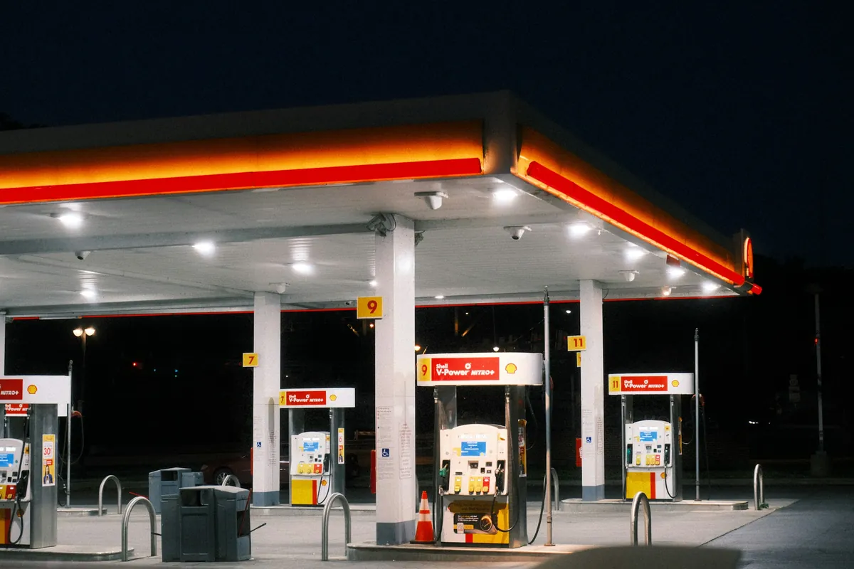
Plenty of roads in the American West go an hour or two without a gas station. Pick a road to see the gas stations, rest areas and fast chargers along it, and how long the longest stretch without gas is, so you know where to fill up.
Pick a road
Loading…
Along the road (west to east, or north to south)
Longest gaps on all 14 roads
| Road | Length | Longest without gas | Between | Gas stations |
|---|---|---|---|---|
| US-50 Lake Tahoe–Ely, Nevada ("Loneliest Road") | 343 mi (552 km) | 178 mi (287 km) | Fallon → Eureka | 51 |
| I-70 in Utah (Green River–Salina) | 231 mi (371 km) | 100 mi (161 km) | Salina → Green River | 27 |
| CA-190 through Death Valley | 130 mi (210 km) | 31 mi (49 km) | Panamint Springs → Stovepipe Wells | 6 |
| I-15 Barstow–Las Vegas | 176 mi (284 km) | 27 mi (44 km) | Newberry Springs → Beacon Station | 198 |
| I-40 Barstow–Flagstaff | 358 mi (577 km) | 57 mi (92 km) | Ludlow → Essex | 159 |
| US-95 Las Vegas–Tonopah | 210 mi (337 km) | 66 mi (106 km) | Goldfield → Beatty | 98 |
| US-395 Eastern Sierra | 160 mi (257 km) | 24 mi (38 km) | Big Pine / Tovowahamatü → Independence | 30 |
| Utah Scenic Byway 12 (Bryce–Capitol Reef) | 123 mi (198 km) | 38 mi (60 km) | Boulder → Torrey | 9 |
| UT-24 Capitol Reef–Hanksville | 152 mi (245 km) | 27 mi (44 km) | Torrey → Caineville | 12 |
| US-163 through Monument Valley | 65 mi (104 km) | 42 mi (68 km) | Kayenta → Halchita / Halchíítah | 6 |
| US-89 Flagstaff–Page–Kanab | 269 mi (433 km) | 63 mi (101 km) | Kanab → Greenehaven | 72 |
| AZ-64 Grand Canyon Village–Desert View–Cameron | 54 mi (86 km) | 30 mi (49 km) | Grand Canyon Village → Cameron | 5 |
| CA-1 Big Sur | 40 mi (65 km) | 24 mi (38 km) | Carmel Point → Big Sur Village | 27 |
| I-80 across Nevada | 404 mi (649 km) | 57 mi (91 km) | Wells → West Wendover | 153 |
Rules for fueling up on remote western roads
- Look for gas at half a tank, not when the light comes on. Gaps here are distances between stations, and climbs, air conditioning and headwinds all burn more fuel.
- Small-town stations may close at night or in winter, and some take cash only or ask for a ZIP code. See our guide to pumping gas with a foreign card.
- Carry plenty of water before crossing a desert. If the car breaks down, stay with it. Many of these roads have no cell signal.
- In an EV, turn on "Show fast chargers" and charge up in the bigger towns at each end.
Pumping gas with a foreign card →
Data sources and notes
Gas stations: Overture Maps Foundation places (CDLA-Permissive-2.0 and CC0), plus two Death Valley stations added from the National Park Service website.
Rest areas: USDOT/BTS NTAD Truck Stop Parking (FHWA public rest areas on interstates and US highways). Road lines: NTAD North American Roads. Fast chargers: U.S. DOE AFDC (CC0).
Base map: OpenFreeMap, © OpenMapTiles, map data © OpenStreetMap contributors.
Stations in remote towns can be missing from the data, closed or seasonal. A gap means no station in our data, so planning around it is the safe choice, but check before you go. Data updated 2026-11-07.