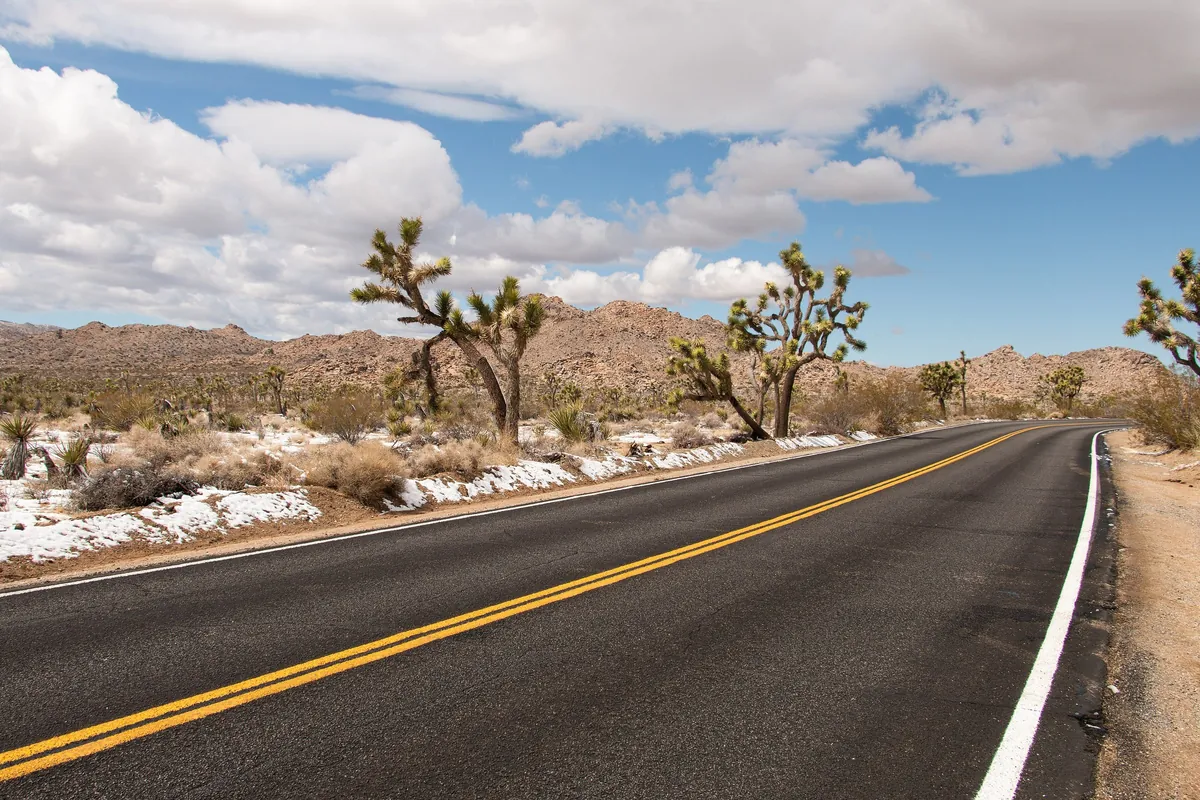
Joshua Tree in winter means mild days, long nights full of stars, and a $30 car pass with no $100 surcharge for international visitors. It also means no gas, food or lodging inside the park, and sunsets around 4:30 pm in December. This guide covers which gate to use, how to plan the day, where to stargaze, where to fuel or charge and where to sleep. Checked as of November 11, 2026.
Key facts
- Entrance per car
- $30(7 days, everyone inside)
- Nonresident surcharge
- None (as of November 2026)
- Gas stations in the park
- None
- December sunset
- As early as about 4:30 pm
Video coming soon · Subscribe on YouTube
Our YouTube channel →Follow us on Instagram for daily short videos →
Why winter is a good time to go
Joshua Tree National Park sits in Southern California where the Mojave and Colorado deserts meet. Summer is hot; winter is the better season for a driving trip, with gentle daytime temperatures and long nights for looking at the sky.
| Item | Winter conditions (National Park Service) |
|---|---|
| Daytime highs | About 60°F (15°C) |
| Nights | Near or below freezing |
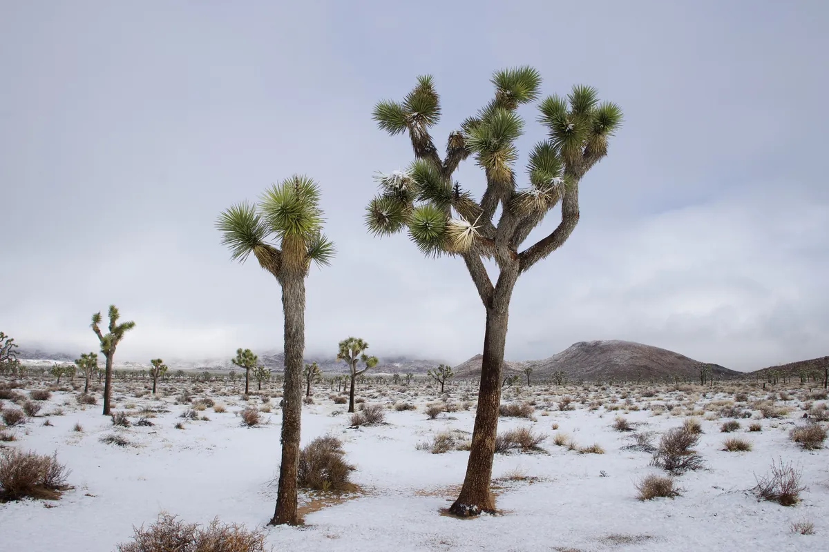
| Snow | Occasional, at higher elevations |
| Wind and flash floods | Possible in any season |
| Sunset | As early as about 4:30 pm in December, fully dark by 5 |
| Elevation | 536 ft (163 m) to 5,814 ft (1,772 m); the high and low ends can have very different weather |
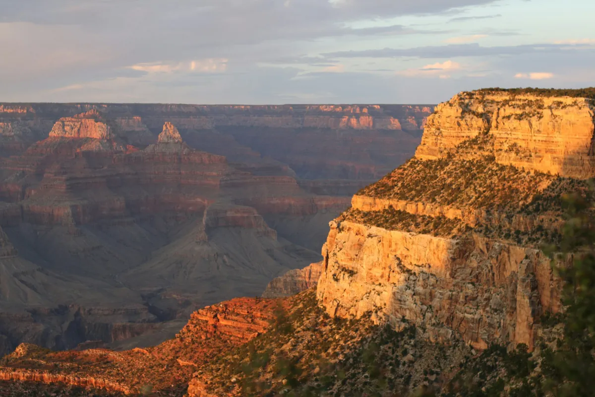
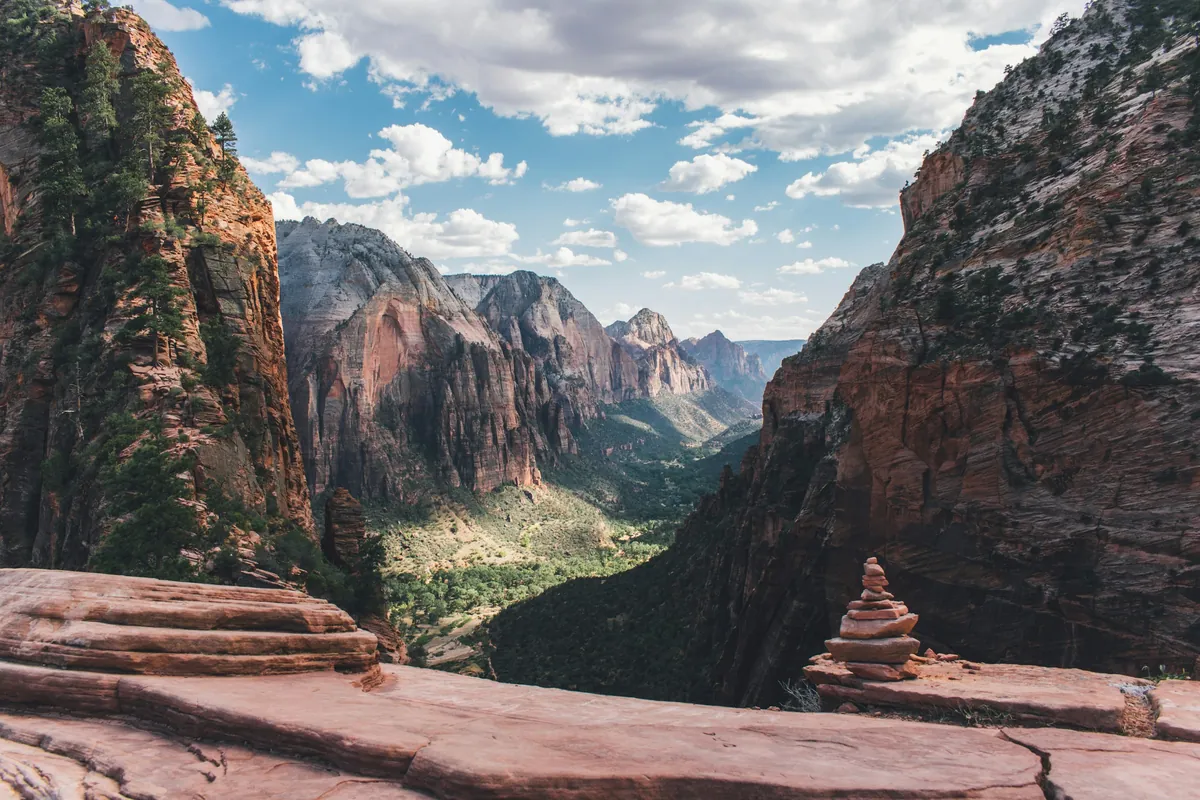
Be ready for crowds. The park counts weekends and holidays from October through May, and spring break from March to mid-April, as its busiest times. A winter weekday is much easier than a weekend. For general winter driving advice, see our US winter road trip guide; Death Valley is another desert park that suits winter.
Getting there: which of the three entrances
The park is about 140 miles (225 km) east of Los Angeles, 175 miles (282 km) northeast of San Diego, 215 miles (346 km) southwest of Las Vegas and 222 miles (357 km) west of Phoenix. The closest airport is in Palm Springs. Public transportation to the park is limited; without a car, check the Morongo Basin Transit Authority for bus schedules. Renting a car in Los Angeles? Read our guide to renting a car in the US first.
| Entrance | Where | Best for |
|---|---|---|
| West Entrance | Joshua Tree village, 5 miles south of Highway 62 at Park Boulevard | The natural choice from Los Angeles; the busiest gate |
| North Entrance | Twentynine Palms, 3 miles south of Highway 62 at Utah Trail | Quick in and out; the park's visitor center is in town |
| South Entrance | On Interstate 10, 25 miles east of Indio, near Cottonwood Spring | Quick in and out; coming from Palm Springs, Indio or Arizona |
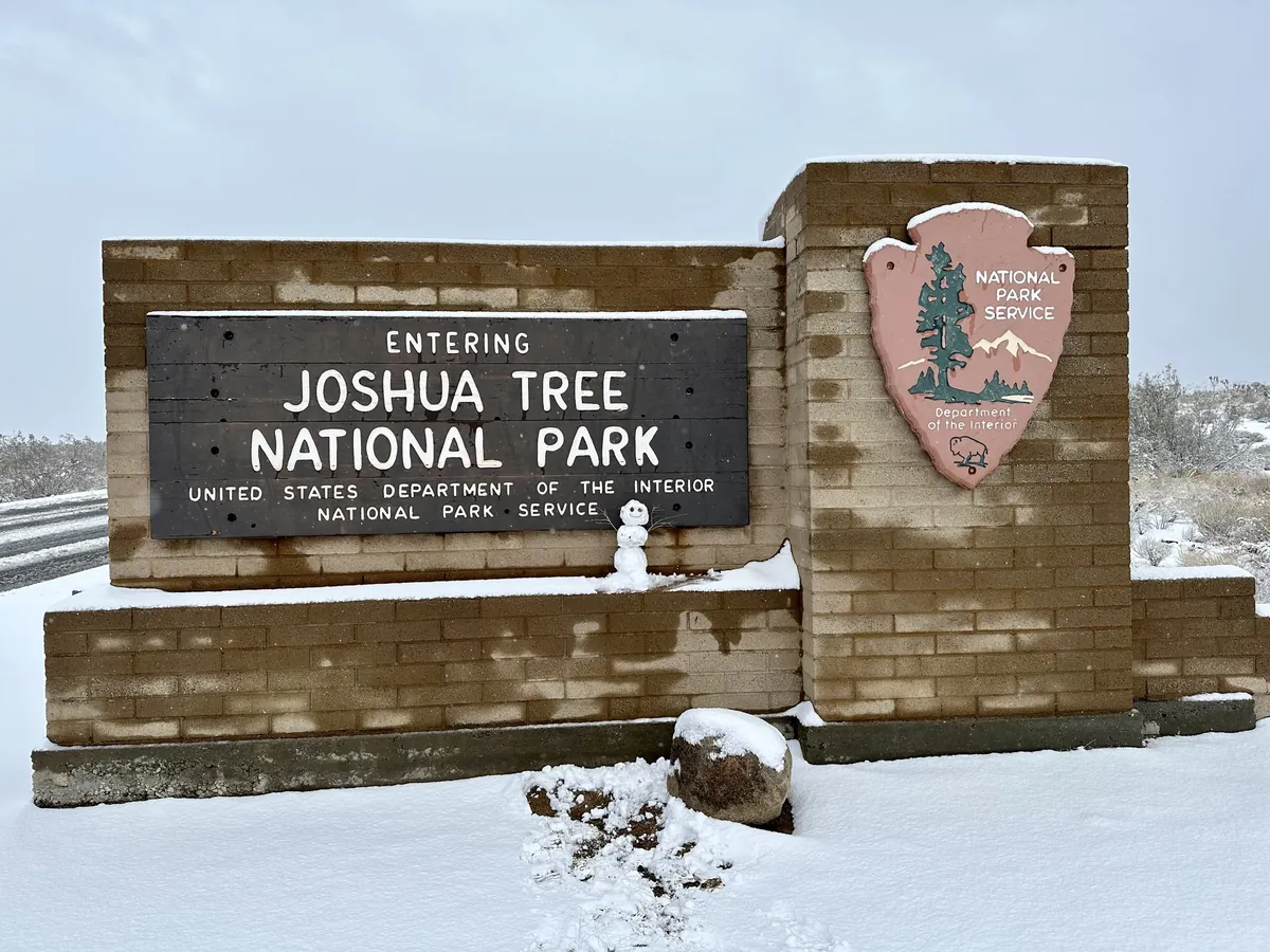
To avoid crowds, the park suggests arriving before 8 am. The North and South entrances are the fastest; the West Entrance is the busiest. Traffic is worst right after sunset, when everyone leaves.
Driving times inside the park (park estimates):
| Route | About |
|---|---|
| West Entrance → North Entrance | 45 minutes |
| North Entrance → South Entrance | 1 hour |
| West Entrance → South Entrance | 1 hour 30 minutes |
This guide goes in at the West Entrance and out at the South Entrance: Joshua tree forests and boulders in the northwest first, then south on Pinto Basin Road, and out to Interstate 10.
Quick fee check: pay at each gate or buy the pass?
Pick the parks this guide covers and who's in the car.
Fees: $30 per car, international visitors included
As of November 2026:
| How you enter | Price | Notes |
|---|---|---|
| Private vehicle | $30 | Valid 7 days; covers everyone in the car |
| Motorcycle | $25 | Valid 7 days |
| On foot or by bike | $15 per person | Valid 7 days; under 16 free |
| Joshua Tree annual pass | $55 | 12 months from the month of purchase; Joshua Tree only |
| America the Beautiful pass (US residents) | $80 | All national parks |
| America the Beautiful pass (nonresidents) | $250 | All national parks |
Why international visitors pay only $30: since 2026, nonresidents aged 16 and over pay an extra $100 each at 11 national parks: Acadia, Bryce Canyon, Everglades, Glacier, Grand Canyon, Grand Teton, Rocky Mountain, Sequoia & Kings Canyon, Yellowstone, Yosemite and Zion. As of November 2026, Joshua Tree is not on the list.
| Two nonresidents aged 16+, one car | Entrance | Surcharge | Total |
|---|---|---|---|
| Joshua Tree | $30 | None | $30 |
| Grand Canyon | $35 | $100 × 2 | $235 |
If the same trip includes Grand Canyon, Zion, Yosemite or another surcharge park, price out the $250 nonresident annual pass: entering in a private vehicle, it covers entrance and nonresident fees for the pass holder and everyone in the car. Use the calculator below or the national park pass calculator.
Paying and showing your pass:
- The North and West Entrance stations take credit and debit cards only. The visitor centers in Joshua Tree village, Twentynine Palms and Cottonwood take cash or cards.
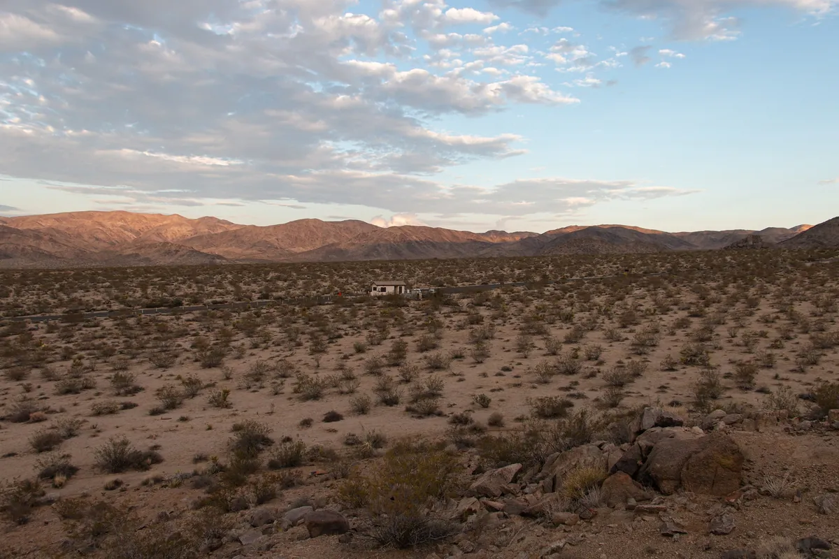
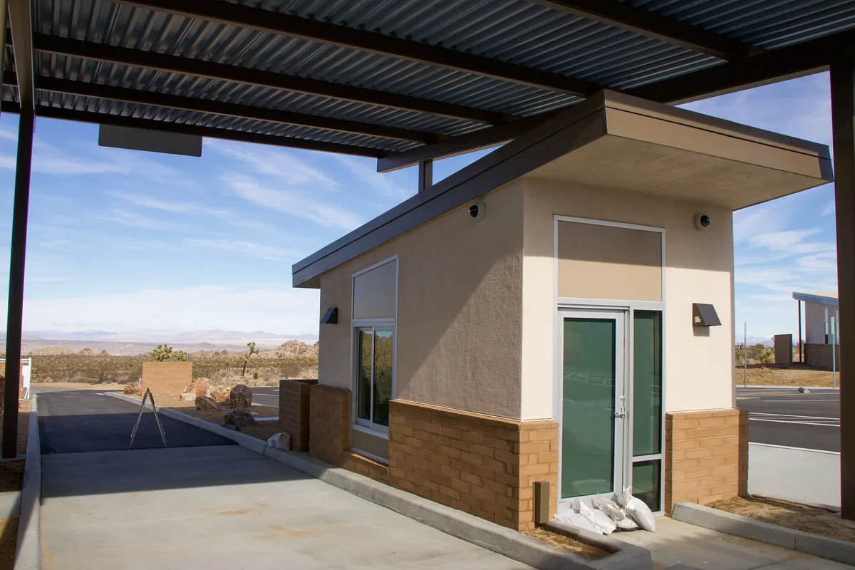
- Fee booths are sometimes unstaffed. Drive in; on the way out you may be asked to show your pass or pay.
- You can buy a pass ahead on recreation.gov, which speeds things up at busy times. Coverage in the park is limited or nonexistent, so print it or save it on your phone before you arrive.
- No reservation is needed to enter.
- Fee-free days in 2026 apply only to US citizens and permanent residents; nonresidents pay as usual.
Before you go: closures, crowds, coverage and dogs
Closures as of November 11, 2026 (check again before you go):
| Where | Status | Source |
|---|---|---|
| Geology Tour Road | Temporarily closed after flooding from heavy rain | Park alert |
| Oasis of Mara Trail | Closed past the oasis | Park alert |
| Highway 62 east of Twentynine Palms | Closed by flooding | Caltrans |
Park alerts are on the park conditions page. For highways, enter the route number on the Caltrans website or call 1-800-427-7623.
Handling the crowds:
- The lots at Hidden Valley, Barker Dam, Keys View, Split Rock and Lost Horse Mine close temporarily when full. The park suggests Hidden Valley, Barker Dam and Lost Horse Mine before 9 am.
- Park only in marked spaces or on a hardened shoulder. Driving off the road can cost up to $180.
- Speed limits are lower than outside to protect the threatened desert tortoise. Slow down for animals, especially at night.
Coverage and water:
- Cell coverage is very limited and can't be relied on. Free Wi-Fi is available at the Black Rock Visitor Center, the Joshua Tree Visitor Center and the Joshua Tree Cultural Center.
- There is no water in the park's interior. Fill bottles at the Black Rock Nature Center, the West Entrance Station and the Joshua Tree National Park Visitor Center in Twentynine Palms. Jugs can be filled at the West Entrance Station, Indian Cove Ranger Station, the Black Rock and Cottonwood campgrounds and the northeast corner of the park headquarters lot.
Dogs, drones and other rules:
- Dogs are not allowed on trails, in the backcountry or in park buildings, even if carried. They can be on roads, in parking lots and within 100 feet (30.5 m) of roads, picnic areas and campgrounds, always on a leash no longer than 6 feet (1.8 m).
- Flying drones is prohibited throughout the park.
- Don't tie ropes or hammocks to Joshua trees or other plants, and don't take plants, rocks or artifacts.
Fuel, charging and supplies: none for an hour and a half
There are no gas stations, restaurants, grocery stores or lodging in Joshua Tree. The park's own advice: bring enough food, water, and gas or charge before you enter. On this guide's route, West Entrance to South Entrance, you drive about an hour and a half with no fuel or charging at all, so fill up in town before you go in.
Gas prices: the US Energy Information Administration's California average for regular was $5.562 a gallon for the week of November 9, 2026 (about $1.47 a liter). That is a statewide average; individual stations vary. Foreign cards are often asked for a ZIP code at the pump; see how to buy gas with a foreign card.
Electric vehicles (as of November 11, 2026):
| Charger | Specs | Notes |
|---|---|---|
| Tesla Supercharger, Yucca Valley (57220–57274 Twentynine Palms Hwy) | 16 stalls, up to 250 kW, 24 h | Tesla's page: non-Teslas need a NACS adapter |
| Tesla Supercharger, Twentynine Palms (73829 Baseline Road, Tortoise Rock Casino) | 8 stalls, up to 150 kW, 24 h | Page doesn't say if non-Teslas can charge |
| Park visitor center, Twentynine Palms (6533 Freedom Way) | Power not stated | Open 8 am–5 pm; plan on slow charging |
We could not verify other networks' fast chargers this time; check your car's navigation or a charging app before you go. Cold winter nights call for a bigger battery buffer.
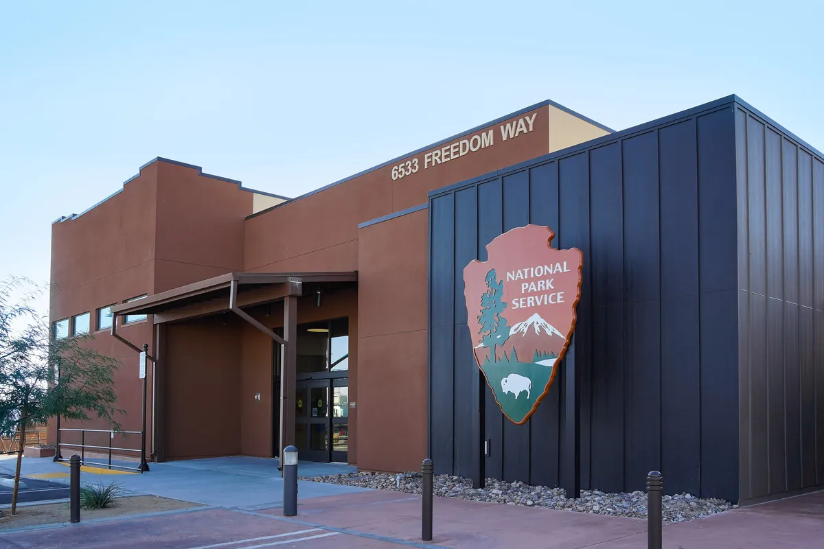
Visitor centers (as of November 2026):
| Visitor center | Hours | Facilities |
|---|---|---|
| Joshua Tree Visitor Center (Joshua Tree village, near the West Entrance) | 7:30 am–5 pm | Cafe, free Wi-Fi |
| Joshua Tree National Park Visitor Center (Twentynine Palms) | 8 am–5 pm | Water bottle filling, EV charging |
| Cottonwood Visitor Center (inside the South Entrance) | 8:30 am–4 pm | Water, restrooms |
| Black Rock Nature Center | 8 am–4 pm, closed 11 am–noon | Water bottle filling |
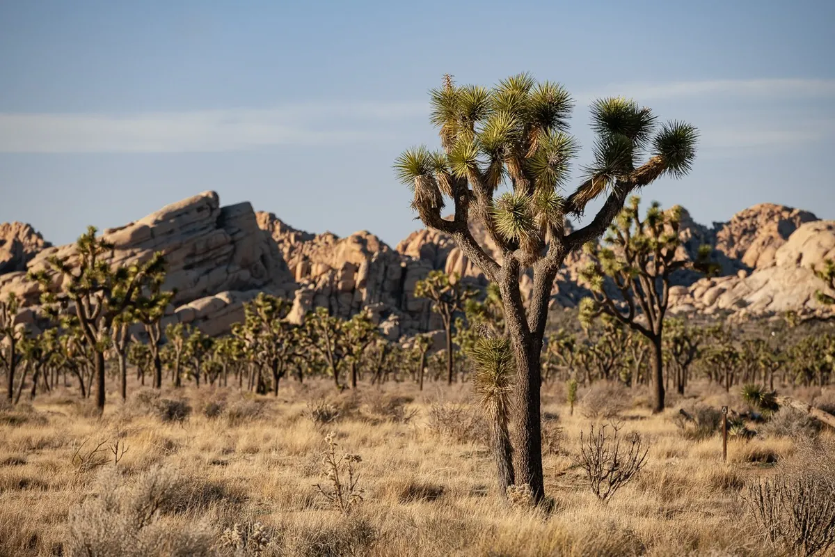
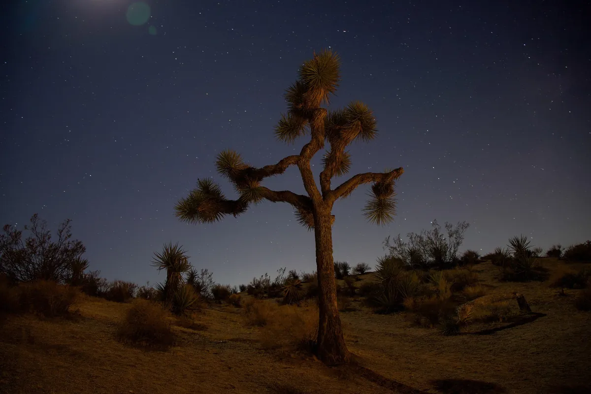
Park Boulevard: what a Joshua tree actually is
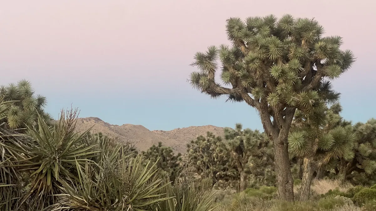
From the West Entrance you are on Park Boulevard. According to the park, the easiest places to see Joshua trees are along Park Boulevard and in the northwest around the road to Keys View, with plenty of pullouts.
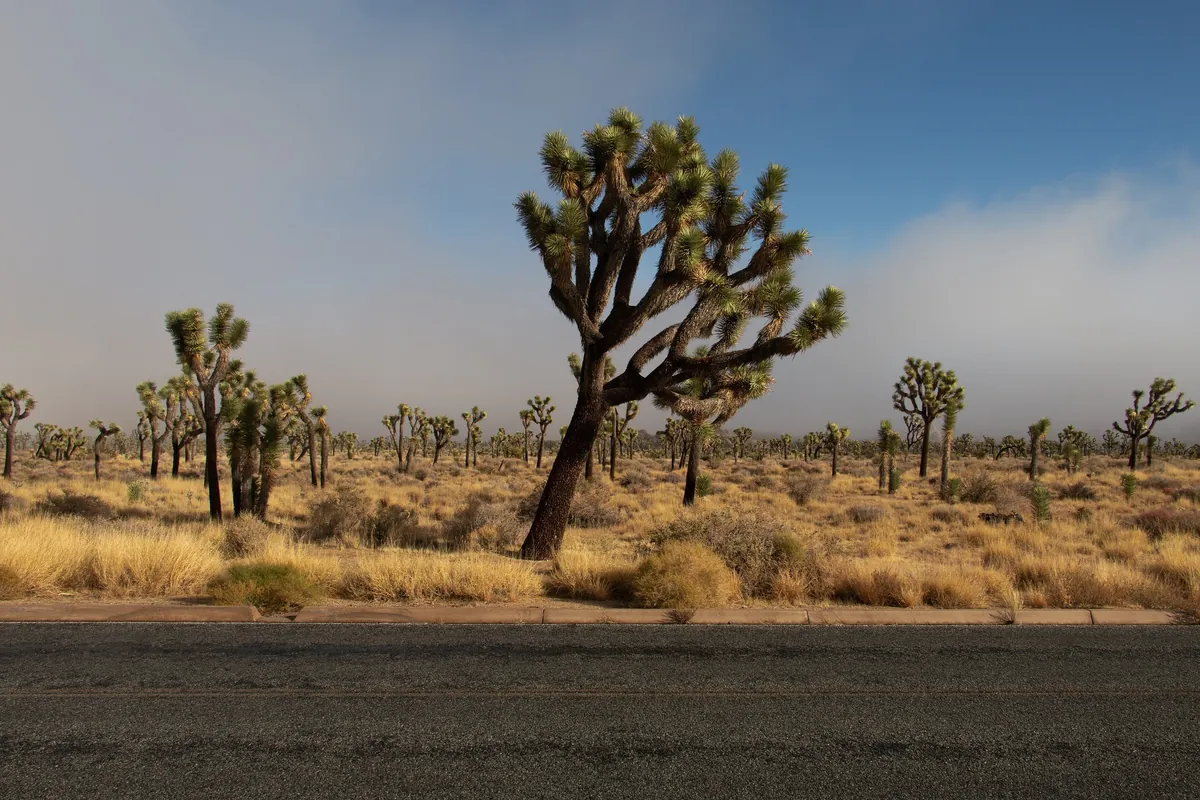
| Item | What the National Park Service says |
|---|---|
| Scientific name | *Yucca brevifolia* |
| Family | DNA studies place it in the agave family; like grasses and orchids it is a monocot. "Tree" describes its growth form, and most meet the general definition of a tree |
| Age | No growth rings; age is estimated from height and branching. About 150 years on average, some over 300 |
| Height | Most top out around 40 ft (12 m); a few reach 50 ft (15 m) |
| Number | About 870,000 in the park |
| Elevation | 2,800–5,800 ft (850–1,770 m), so they thin out as you drive south and downhill |
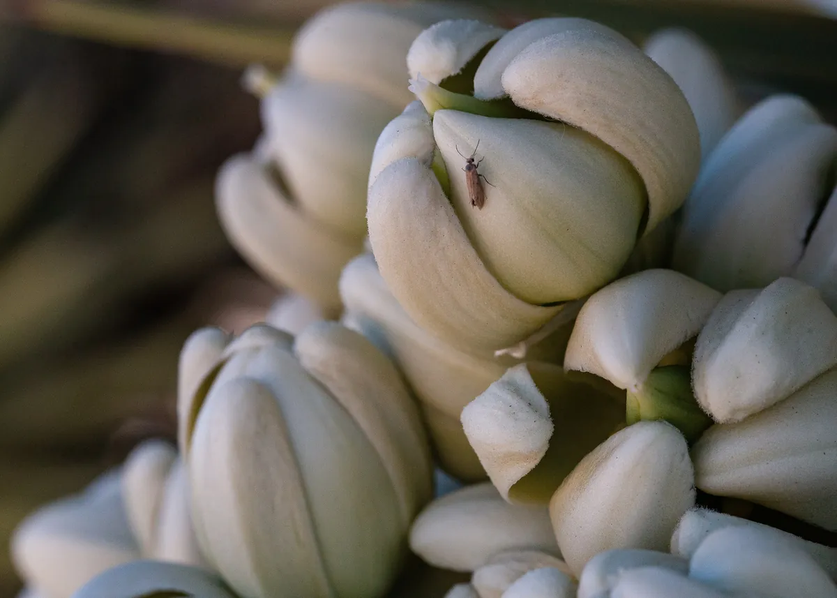
| Pollination | By one species of yucca moth only |
| Bloom | Usually mid-February to April, given the right rain and winter cold |
Where the name came from: the usual story is that Mormon settlers in the mid-1800s thought the outstretched branches looked like the biblical Joshua pointing the way. The park's own website says there is very little historical evidence for this. Long before that, the Cahuilla people had their own names for it (hunuvat chiy'a or humwichawa); they wove the leaves into baskets and sandals and ate the flower buds and seeds.
The woman who made it a park: Minerva Hoyt
In the late 1920s new roads brought land developers and cactus poachers into this desert, and many plants were dug up for gardens in Los Angeles. Minerva Hoyt, a Pasadena resident, set out to stop it.
- She was born in Mississippi on March 27, 1866, and later moved to Southern California.
- She took desert plant exhibits to Boston, New York and London, and founded the International Deserts Conservation League.
- In a report for the California State Park Commission she proposed large parks in Death Valley, Anza-Borrego and the Joshua tree forests of the Little San Bernardino Mountains. She brought in biologists and desert ecologists to write reports, and won over President Roosevelt and Interior Secretary Harold Ickes.
On August 10, 1936, President Roosevelt signed the proclamation creating Joshua Tree National Monument, about 825,000 acres. For its first years it was run by the superintendent of Yosemite; it got its own superintendent only in 1940. On October 31, 1994, the California Desert Protection Act made it a national park and added 234,000 acres, with new boundaries that follow the land, take in whole mountain ranges and protect key desert bighorn sheep habitat. The park had about 3 million visitors in 2024.
For more history, book a ranger-led Keys Ranch tour. The ranch can be seen only on a tour; tickets are sold only on recreation.gov, up to 60 days ahead, usually October to April. There are no walk-up tickets and they often sell out.
Boulder country: Hidden Valley, Barker Dam, Skull Rock
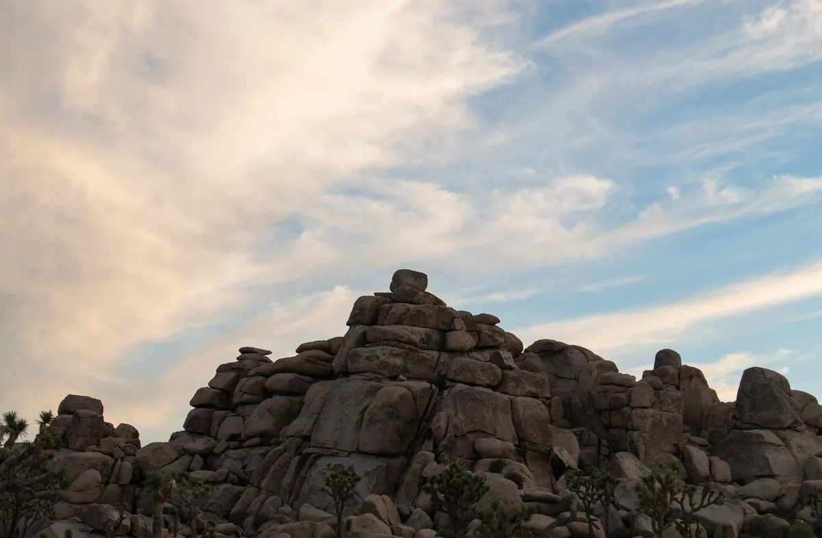
Further along Park Boulevard, piles of rounded boulders start to appear. The park explains it this way: more than 100 million years ago, magma cooled underground into monzogranite. Three sets of cracks cut it into blocks, and groundwater seeping down the cracks wore away the corners first, the way an ice cube under a tap loses its edges. As the climate dried, flash floods stripped away the soil and left the rounded boulders stacked in the open.
Easy short trails the park recommends:
| Trail | Length | Notes |
|---|---|---|
| Hidden Valley | About 1 mile | Popular; the lot closes temporarily when full, arrive before 9 |
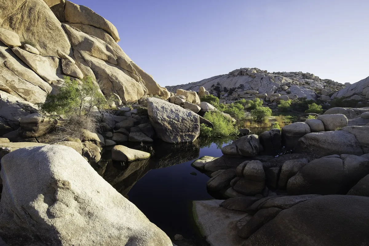
| Barker Dam | 1.1-mile (1.8 km) loop | 30–45 minutes, 50 ft (15 m) of climbing; passes a historic dam and a petroglyph site |
| Arch Rock | About 1 mile | Easy |
| Discovery Trail | About 1 mile | Easy |
| Skull Rock Nature Trail | 1.7 miles (2.7 km) | Starts at Jumbo Rocks Campground |
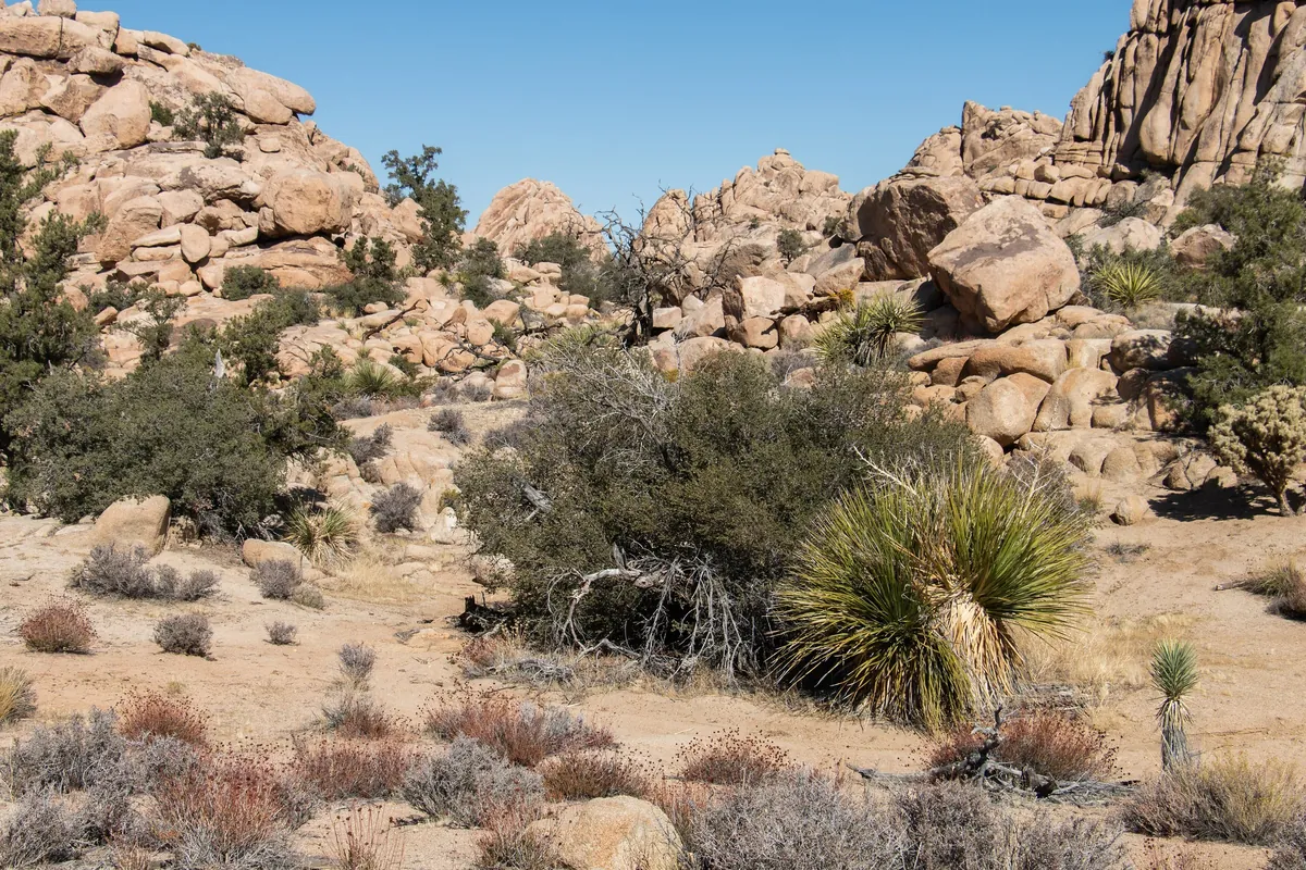
- At Barker Dam, view the petroglyphs from a distance and don't touch them.
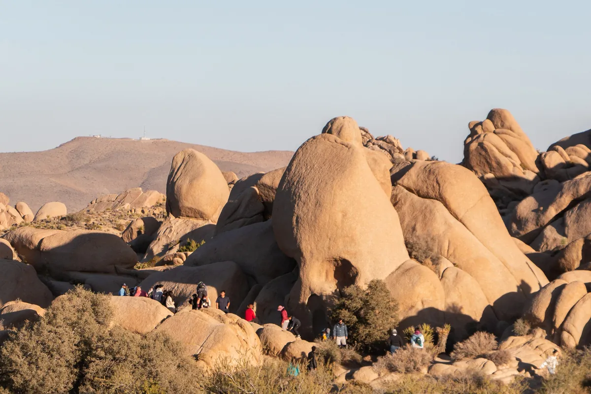
- Skull Rock sits beside the main east-west park road, with parking across the street; watch for traffic when you cross. Rainwater collecting in small hollows slowly eroded the granite into two "eye sockets".
- The park warns that some apps and blogs label user-made routes as "trails". These often involve boulder scrambling and route-finding, and have led to searches for lost and injured hikers. Stay on official trails.
Keys View: the San Andreas Fault at a glance
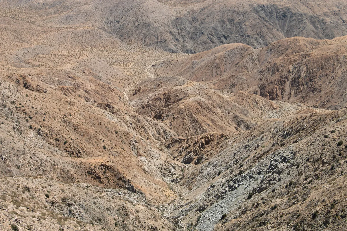
Turn off Park Boulevard onto Keys View Road and drive about 20 minutes to Keys View, on the crest of the Little San Bernardino Mountains, looking down over the whole Coachella Valley.
| Look at | What it is |
|---|---|
| Water to the left | The Salton Sea, about 230 ft (70 m) below sea level |
| The high peak to the right | San Jacinto Peak, about 10,800 ft (3,290 m) |
| Further right | San Gorgonio Mountain, about 11,500 ft (3,505 m) |
| The valley floor | The San Andreas Fault runs through it |
- The overlook is wheelchair accessible; a 0.2-mile (0.3 km) loop climbs to the ridge for a wider view.
- On exceptionally clear days you may see Signal Mountain in Mexico, though poor air quality has made that rarer in recent years.
- It is very popular and may close because of congestion at busy times; parking is hard.
Pinto Basin: Cholla Cactus Garden
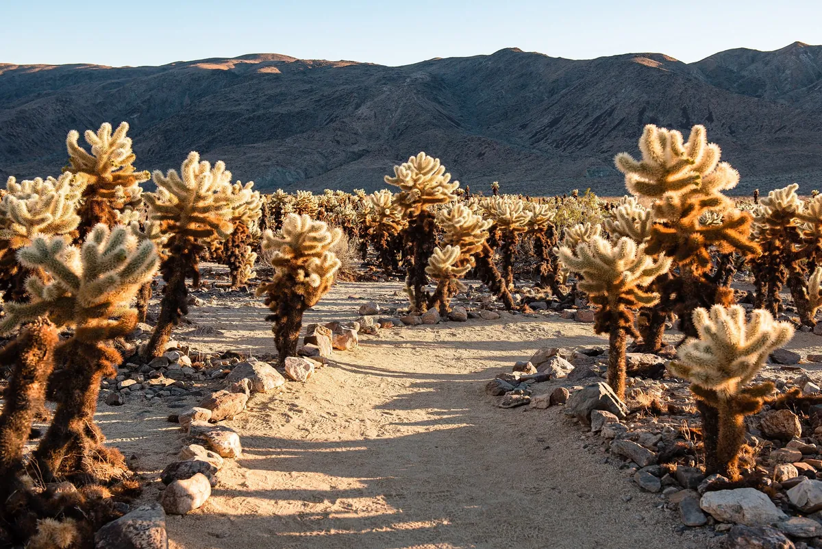
Turn south onto Pinto Basin Road and you leave the Joshua trees behind as the land drops. About 12 miles (19 km) south of the North Entrance is the Cholla Cactus Garden:
- A flat 0.25-mile (0.4 km) loop through nearly 10 acres (4 hectares) dominated by teddybear cholla.
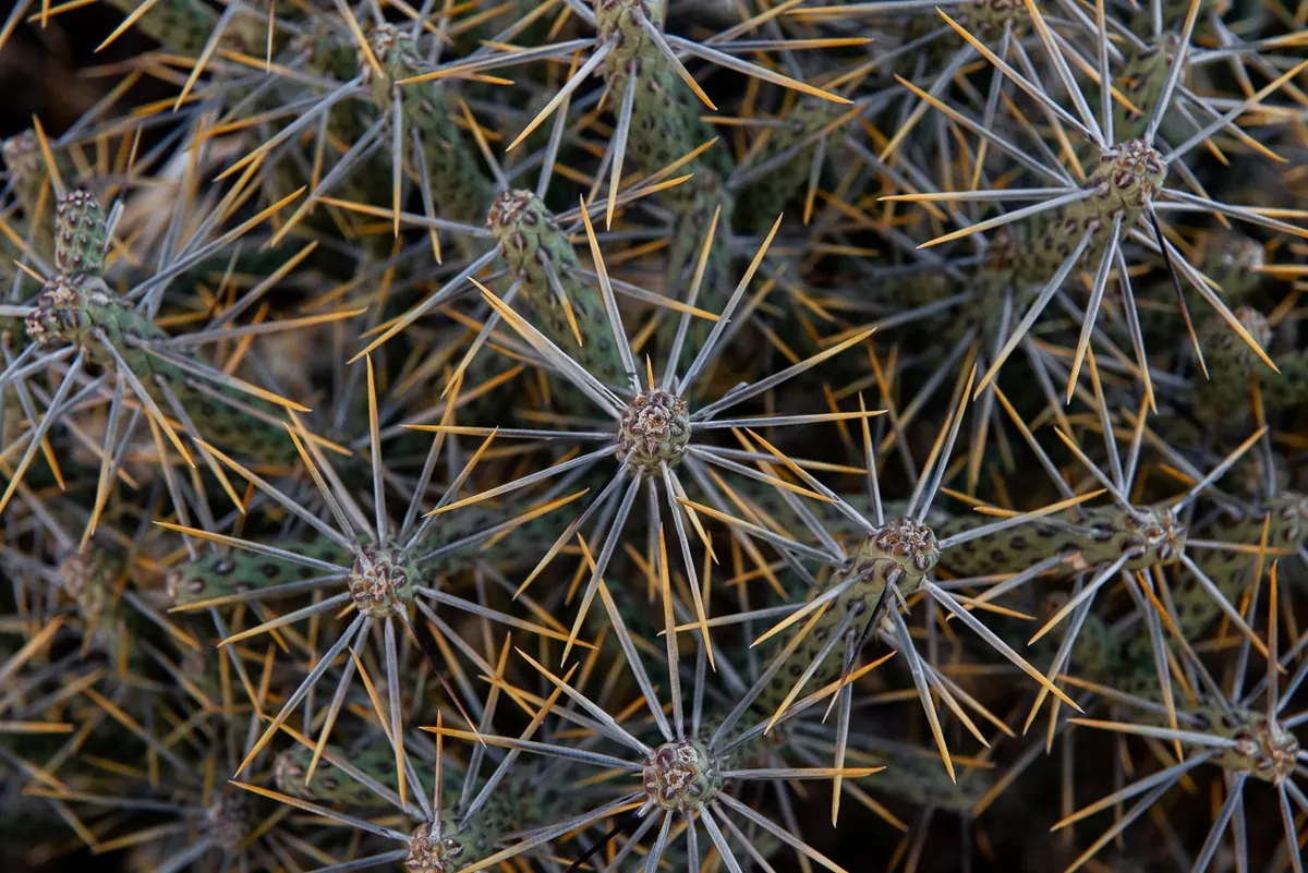
- The park notes that these cacti mostly spread from fallen stem segments, so the whole stand may be a single plant.
- Don't touch. Its nickname is "jumping cholla": the spines carry tiny barbs that latch on at the lightest contact. Wear closed-toe shoes and keep an eye on children.
- In years with enough rain, wildflowers start in February at lower elevations such as the Pinto Basin, and in March and April higher up.
Stargazing: long winter nights, and the rules
Joshua Tree is an International Dark Sky Park, certified by DarkSky International. With early winter sunsets, you can start before dinner.
| Where | Notes |
|---|---|
| 4 designated stargazing areas | The parking lots at Quail Springs, Hidden Valley, Cap Rock and Ryan Mountain |
| Roadside pullouts | Pinto Basin Road between Cholla Cactus Garden and Cottonwood has the least traffic and darkest skies |
| Campgrounds | Cottonwood is the darkest |
Rules:
- Stay awake and within 20 feet (6 m) of your vehicle. No overnight stays along roads or in parking lots.
- Areas marked Day Use Only are closed from dark to dawn.
- Red light only: no white flashlights, headlamps or phone screens. Eyes take 20–30 minutes to adjust fully.
- Pick a night with no moon, or before moonrise.
- Nights get near freezing: bring an extra layer and a folding chair, and watch for animals on the road when driving at night.
Winter sunrise and sunset (US Naval Observatory data for the middle of the park):
| Date | Sunrise | Sunset |
|---|---|---|
| December 1, 2026 | 6:32 am | 4:35 pm |
| December 15, 2026 | 6:42 am (first light 6:15) | 4:37 pm |
| December 31, 2026 | 6:49 am | 4:45 pm |
| January 15, 2027 | — | 4:58 pm |
| February 15, 2027 | — | 5:28 pm |
Where to watch sunset and sunrise
The park's sunset list: Indian Cove, Quail Springs, Cap Rock and Cholla Cactus Garden, with Ryan Mountain on another page; Keys View works too, but parking is hard.
| Place | When | Why |
|---|---|---|
| Cholla Cactus Garden | Arrive about an hour before sunset | On the park's sunset list; continue down Pinto Basin Road to stargaze |
| Keys View | Sunset | The whole Coachella Valley; hard parking, may close when busy |
| Cap Rock | Sunset and after dark | A sunset spot and a designated stargazing area |
| Indian Cove | Sunset | On the park's sunset list |
| Open ground facing east near your campsite | Sunrise | The park lists no sunrise spots; mid-December sunrise is around 6:40 |
Cholla Cactus Garden and Keys View are far apart, so pick one for sunset on a given day.
Where to stay: campgrounds and gateway towns
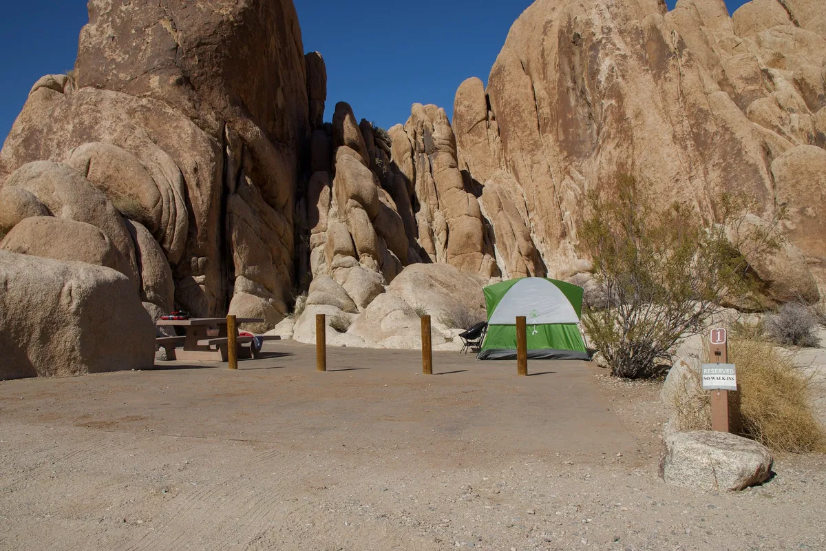
There are no hotels or lodges in the park, only 9 campgrounds with more than 500 sites, about 85% of them by reservation only. Reservations are on recreation.gov, up to 6 months ahead. The table lists nightly rates for 8 of them, in effect since January 1, 2026 (as of November 11, 2026):
| Campground | Per night | Booking |
|---|---|---|
| Black Rock | $35 | Reservation |
| Cottonwood | $35 | Reservation |
| Indian Cove | $35 | Reservation |
| Jumbo Rocks | $30 | Reservation |
| Ryan | $30 | Reservation |
| Hidden Valley | $25 | First come, first served |
| Belle | $25 | First come, first served |
| White Tank | $25 | First come, first served |
- First-come, first-served sites are full nearly every weekend from September to May, usually by Friday afternoon. Once you have a site, register and pay at an entrance station within one hour; cards only.
- Senior and Access pass holders pay half price for campsites.
- RV length: Hidden Valley and White Tank allow 25 feet (7.6 m) combined, including any trailer; Belle takes up to 35 feet (10.7 m), though most sites fit only 25–30 feet. A towed vehicle counts as a second vehicle.
- Firewood is not sold in the park and you can't gather it; buy it outside the park. Fires only in campground fire rings.
If you're not camping, stay in a gateway town: Joshua Tree, Yucca Valley or Twentynine Palms. We have not checked hotel prices; look them up before you go.
Food
There are no restaurants in the park. The practical plan is to buy lunch in town in the morning and bring it in.
| Where | Notes |
|---|---|
| 8 picnic areas in the park | Cottonwood, Indian Cove, Live Oak, Split Rock, Cap Rock, Hidden Valley, Quail Springs, Black Rock; bring your own food |
| Cafe, Joshua Tree Visitor Center | A hot drink before you enter; we have not checked its menu or hours |
| Shields Date Garden, Highway 111 in Indio | Open since 1924; date shakes at a 1960s-era counter and a tasting bar; cafe 8 am–2 pm daily per its website; store hours and prices not posted |
Two days, one night
The plan: spend the night before near Joshua Tree village, enter at the West Entrance and leave by the South Entrance, with one night at a park campground in between.
| Time | Day 1 |
|---|---|
| 7:30 | Fill up (or charge) in town; buy lunch and water |
| Before 8:00 | Enter at the West Entrance; Joshua trees along Park Boulevard |
| Before 9:00 | Hidden Valley or Barker Dam, before the lot fills |
| Midday | Skull Rock; lunch at a picnic area |
| Afternoon | South on Pinto Basin Road |
| An hour before sunset | Cholla Cactus Garden |
| After dark | Stargaze from a roadside pullout on Pinto Basin Road (the darkest stretch; stay awake and within 20 feet of your car), then back to camp |
| Time | Day 2 |
|---|---|
| Early | Sunrise near your campsite |
| Morning | South to Cottonwood Spring, used by the Cahuilla for centuries (they left bedrock mortars and clay pots). In the gold-mining era it was a water stop for prospectors, miners and teamsters, and remains of ore-processing sites are nearby |
| Before 4 pm | Cottonwood Visitor Center has water and restrooms; it currently closes at 4 pm |
| Then | Out the South Entrance to Interstate 10, back to Los Angeles or on to Indio |
For a Keys View sunset: flip the order. Spend the first afternoon in the northwest, watch sunset at Keys View, and head south to the Cholla Cactus Garden the next day.
What it costs: two people from Los Angeles
Assumptions: two people in one gasoline car, round trip from Los Angeles, one day in the park and one night at a park campground. Prices checked on November 11, 2026.
| Item | Amount |
|---|---|
| Entrance (one car) | $30 |
| One night's campsite | $25–35 |
| Gas: about 140 miles to the park, about 150–160 miles back to Los Angeles from the South Entrance via I-10, plus driving in the park and the Keys View side trip, about 350–360 miles in all; estimated at 25 mpg and $5.562 a gallon | $78–80 |
| Total (estimate, food not included) | About $133–145 |
For two international visitors, that is less than the Grand Canyon entrance fee alone ($235). Gas and campsite prices change; recalculate with real prices before you go.
With older travelers and kids, and what to wear
- Clothing: days and nights differ a lot; pack winter layers, since nights drop to around freezing. Wear closed-toe shoes on trails.
- Kids: watch them closely at the Cholla Cactus Garden and keep them away from the cholla; in boulder areas, stick to marked trails.
- Older travelers and wheelchairs: Keys View is wheelchair accessible.
- Keep in the car: water, food, offline maps, a red flashlight and folding chairs.
FAQ
Do international visitors pay the $100 nonresident fee at Joshua Tree?
Not as of November 2026. The surcharge applies at 11 parks and Joshua Tree is not one of them; a private vehicle pays $30, covering everyone inside.
Is Joshua Tree cold in winter?
Daytime highs are around 60°F (15°C), which is comfortable. Nights are near or below freezing, with occasional snow at higher elevations, so dress for winter after dark.
Do I need a reservation to enter Joshua Tree?
No reservation is needed to enter. Most camping must be reserved on recreation.gov, and Keys Ranch tours need tickets bought online in advance.
Can I get gas or food inside the park?
No. There are no gas stations, restaurants, stores or lodging in the park. Fill up and buy food and water in town before you enter.
Which entrance is best?
From Los Angeles the West Entrance is the most direct but the busiest; the North and South entrances are fastest. This guide goes in at the West Entrance and out at the South, about an hour and a half of driving inside the park.
Where is the best stargazing?
The four designated stargazing areas are the parking lots at Quail Springs, Hidden Valley, Cap Rock and Ryan Mountain; Pinto Basin Road between Cholla Cactus Garden and Cottonwood is the darkest. Stay awake, stay within 20 feet of your car and use only red light.
Read next: Grand Canyon Road Trip Guide · Zion National Park in One Day (2026) · Death Valley Road Trip 2026: 7 Mistakes to Avoid (Fees, GPS, Gas & Breakdowns)
Before you go: check it off
0 of 6 checkedPulled from this guide. Your ticks are saved in this browser only.
General information only. Rules change; check official notices before you go.
Official sources
- Fees and passes:https://www.nps.gov/jotr/planyourvisit/fees.htm
- Nonresident fee:https://www.nps.gov/planyourvisit/passes.htm
- Directions and entrances:https://www.nps.gov/jotr/planyourvisit/directions.htm
- Visiting during the busy season:https://www.nps.gov/jotr/planyourvisit/visiting-during-the-busy-season.htm
- Alerts and conditions:https://www.nps.gov/jotr/planyourvisit/conditions.htm
- Campgrounds:https://www.nps.gov/jotr/planyourvisit/campgrounds.htm
- Stargazing:https://www.nps.gov/jotr/planyourvisit/stargazing.htm
- Visitor centers:https://www.nps.gov/jotr/planyourvisit/visitorcenters.htm
- FAQ:https://www.nps.gov/jotr/faqs.htm
- Caltrans road conditions:https://roads.dot.ca.gov/
Header photo: Snowfall (54596633874), NPS / Paul Martinez, public domain
Credits for every image in this guide and episode →
Subscribe on YouTube to see it as soon as it's out.