Route 66 turns 100 on November 11. This guide drives the West end backwards from the end of the trail: Santa Monica Pier, Barstow, Amboy and Roy's Motel & Café in the Mojave, the Oatman Highway and its wild burros, the longest surviving stretch from Kingman to Seligman, and Williams — about 450 miles. What's open, how to detour the closed stretch east of Amboy, the Santa Monica Pier sign restoration, fuel and EV charging in the desert, and a 3-day plan.
Key facts
- In the California desert, the old road east of Amboy is still closed. At Kelbaker Road, turn north and detour via I-40.
- With one day, drive Kingman to Seligman, the longest stretch of old road, plus the Oatman mountain road.
- Fill up and charge in Barstow before the desert.
- At 100, Route 66 still has many drivable stretches in the West. Information as of early November 2026; check the latest road conditions again before you go.

▶ Watch the video · YouTube
Route 66 in one minute
First, one minute to understand this road.
Route 66 ran about 2,450 miles from Chicago to Los Angeles through eight states. It was fully paved by 1938, and for decades it was the main road for Americans moving or vacationing west.
Then interstates replaced it, section by section. In 1985 the Route 66 designation was officially retired and it disappeared from maps.
The brown "Historic Route 66" signs you see today mark the old road that survived. In the West it mostly runs parallel to Interstate 40, sometimes right beside the freeway, sometimes far out into the desert.
The end of the trail: Santa Monica Pier
We start at the end.
On the Santa Monica Pier there's a sign that reads "Route 66, End of the Trail." Many people drive all the way just to take a photo here. On April 30 this year, Santa Monica also held a celebration to open Route 66's centennial.
The big arched sign at the pier entrance was taken down in September because the pier bridge is being rebuilt. It went to Las Vegas for restoration and is planned to return in late 2027. For now there's a half-scale replica by the bridge that lights up at night, so you can still get the photo.
During the bridge work some nearby ramps are temporarily closed, so check closures in your navigation app before driving there. The pier itself is open as usual.
L.A. to Barstow: take the freeway
East of Santa Monica, the old road crosses all of Los Angeles, one traffic light after another. If you're short on time, take the freeway straight to Barstow at the edge of the desert, about two and a half hours without traffic.
Barstow is the key supply stop for this stretch. Further east is the Mojave Desert, so fill the tank, charge the battery, and bring water and food.
The Mojave: a closed stretch of old road
Past Barstow, old Route 66 is called the National Trails Highway here, a two-lane road that runs deep into the desert.
So here's the plan: drive from Barstow to Ludlow and take the old road to Amboy. Afterwards, continue a short way east on the old road to Kelbaker Road, turn north back to Interstate 40, and head east to Needles.
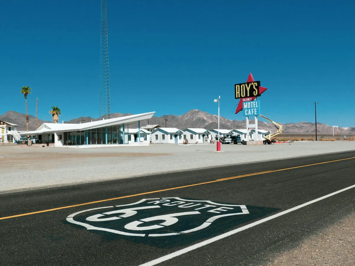
Amboy is home to that famous café: Roy's Motel and Café. The town's permanent population is zero, but hundreds of Route 66 travelers stop every day. Today it's a gas station and gift shop, and the motel rooms are planned to welcome guests again by the end of this year.
There's almost no cell signal here, and some bridges have weight limits, so RV drivers should check first. Gas stations on the old road are rare; don't count on filling up halfway.
Into Arizona: the Oatman Highway
Past Needles you cross the Colorado River into Arizona.
North from Topock, the old road climbs into the mountains, through the town of Oatman and over Sitgreaves Pass, 1,080 meters up. The pass has many curves, a narrow road and no guardrails. Drivers with some mountain experience will be fine, but RVs and trailers are better off on Interstate 40.
Oatman was a gold-mining town. In 1952 Route 66 was rerouted around it and the town declined. Today it's famous for the wild burros wandering its streets, descendants of burros brought by miners and later set free. Drive slowly in town, give way to the burros, don't honk, and don't chase them for photos.
Kingman to Seligman: the longest stretch
Over the mountains is Kingman. The Kingman visitor center houses a Route 66 museum, and the Historic Route 66 Association of Arizona is based here too.
From Kingman east to Seligman is the longest continuous stretch of old Route 66 that survives: nearly 90 miles, not merged with the interstate.
Along the way is the Hackberry General Store, its front crowded with old cars and signs, said to have inspired some scenes in the animated film Cars. Further east, near Peach Springs, are the Grand Canyon Caverns, with a restaurant about 60 meters underground.
At the end, Seligman is called the birthplace of the Route 66 revival. In 1987 the town barber, Angel Delgadillo, and his neighbors founded the Historic Route 66 Association of Arizona, and the next year Arizona named this stretch a historic highway. His family's gift shop is still in town, where you can see his old barber chair.
Mile 450: Williams
Further east is Williams.
On October 13, 1984, the last stretch of Interstate 40 bypassing Williams opened, making it the last town on Route 66 to be bypassed. The next year the Route 66 designation was retired.
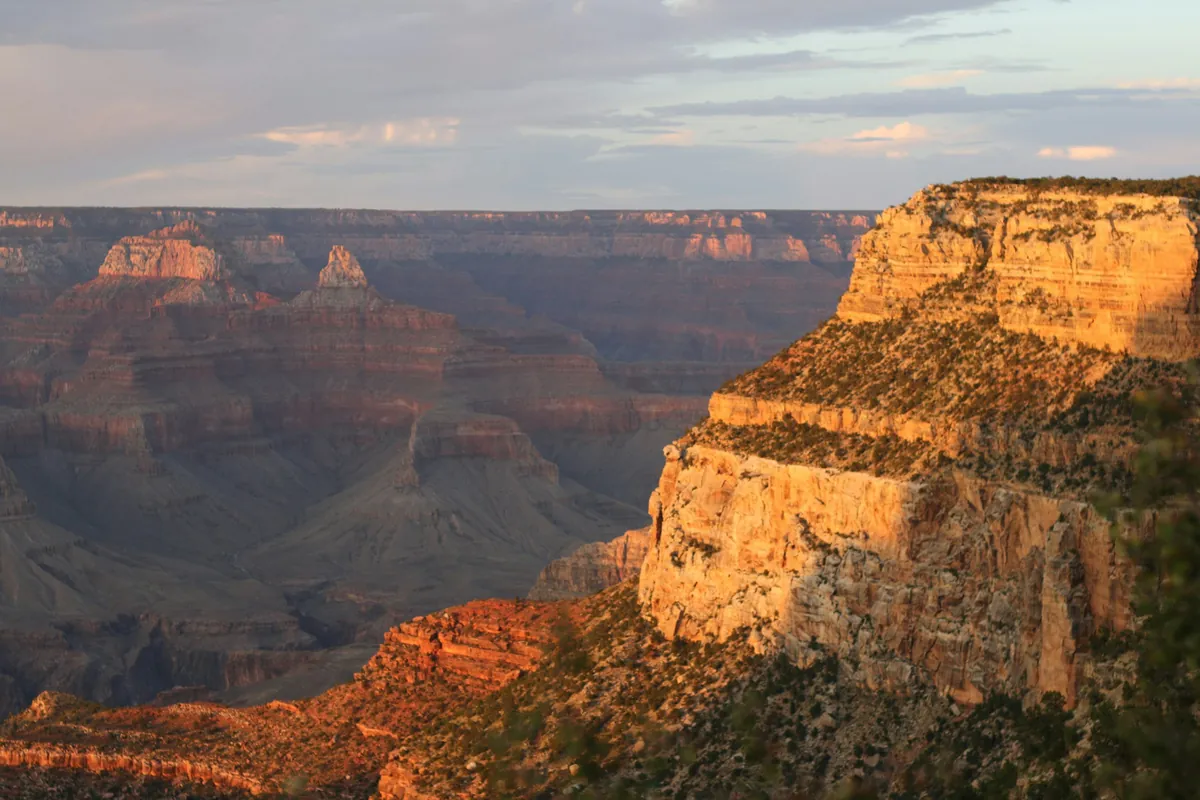
Today Williams' main street is lined with brick buildings and neon signs. It's also the gateway to the Grand Canyon's South Rim, about an hour's drive. Our first episode, the Grand Canyon guide, picks up from here.
Note: Williams sits over 2,000 meters up. It snows in winter and is much colder than the desert, so watch for ice when driving at night.
Fuel and charging
On this route, plan fuel and charging segment by segment.
Fuel: the biggest gap is the California desert. Barstow to Needles on the old road is nearly 150 miles, with fuel at only a very few places like Amboy. So fill up in Barstow and again in Needles. In Arizona, Kingman, Seligman and Williams are the bigger supply stops.
Charging: Tesla has Superchargers in Barstow, Needles and Kingman; the Kingman one is at the visitor center. For other EVs, fast chargers are mainly in bigger towns like Barstow and Kingman. Check a charging map before you go, and don't take chances in the desert.
Roadwork: in Arizona, Interstate 40 east of Kingman closes one lane at night through the end of the year; west of Seligman there's also roadwork with possible speed and lane restrictions, expected into next spring.
A 3-day plan
If you have three days, here's how I'd do it.
Day one: leave Santa Monica in the morning, take the freeway to Barstow, fill up, take the old road to Amboy, return to I-40 via Kelbaker Road, and spend the night in Needles.
Day two: cross the Oatman mountain road to Kingman, drive the Kingman-to-Seligman stretch in the afternoon, and stay in Seligman or Williams.
Day three: go from Williams to the Grand Canyon's South Rim. Winter days are short, so finish the mountain and desert roads before dark.
General information only. Rules change; check official notices before you go.
Video chapters
- 0:00 Cold open: Route 66 turns 100
- 1:04 Route 66 in one minute
- 1:49 The end of the trail: Santa Monica Pier
- 2:31 L.A. to Barstow
- 2:55 Mojave: the closed stretch & Roy's
- 4:10 Oatman Highway & the wild burros
- 4:57 Kingman to Seligman: the longest stretch
- 6:03 Williams: the last town bypassed
- 6:43 Fuel & EV charging
- 7:37 A 3-day plan
- 8:08 Remember three things
Routes, parking and gas stations, shown on maps and real footage, one section at a time.