The classic loop of the American West: from Las Vegas through Zion, Bryce Canyon, Antelope Canyon and Horseshoe Bend at Page, into the Grand Canyon by the East Entrance, then back to Las Vegas on old Route 66. Each day's drive, gas and fast charging are on the map.
Las Vegas → Springdale (Zion)
North on I-15, then Utah 9. Stay in Springdale outside Zion's South Entrance so you can walk to the town shuttle instead of fighting for parking. Enter the day-before lottery for Angels Landing tonight.
- 160 gas stations within 1 mile
- 22 DC fast charging stations
A full day in Zion
Take the first 7 a.m. shuttle to Stop 9 for the Narrows, Angels Landing at midday, the Emerald Pools in the afternoon and the Watchman Trail at sunset. Don't wait for the last bus.
Zion → Bryce Canyon
Take the Zion–Mount Carmel Highway through the 1930 tunnel and hike the one-mile Canyon Overlook Trail at its east end. Since June 2026 oversized vehicles are banned on this road, so measure your RV first.
- 11 gas stations within 1 mile
- 1 DC fast charging stations
Bryce Canyon → Kanab → Page
Sunrise at Bryce, then south on US-89 through Kanab to Page. Horseshoe Bend charges for parking per car; go early or late. Antelope Canyon is only by Navajo-guided tour, so book ahead, and go by the time your tour company gives you, since the Navajo Nation observes daylight saving time.
- 31 gas stations within 1 mile
- Longest stretch without gas: about 63 miles
- 4 DC fast charging stations
Page → Cameron → Grand Canyon East Entrance → Tusayan
Fill up in Cameron, enter by the East Entrance, start at the Desert View Watchtower and work west along Desert View Drive. The South Rim's in-park hotels have paused overnight stays, so sleep in Tusayan outside the South Entrance.
- 17 gas stations within 1 mile
- Longest stretch without gas: about 49 miles
- 4 DC fast charging stations
Grand Canyon → Williams → old Route 66 → Kingman
Sunrise at Mather Point or Yaki Point, then south to Williams. From Seligman, follow old Route 66 through Peach Springs and Hackberry to Kingman, past old gas stations and vintage signs.
- 64 gas stations within 1 mile
- Longest stretch without gas: about 34 miles
- 7 DC fast charging stations
Kingman → Hoover Dam → Las Vegas
US-93 back to Las Vegas. The highway crosses on the bypass bridge downstream, whose high walls hide the dam; take Exit 2 for a short detour and allow an hour to park and take photos.
- 107 gas stations within 1 mile
- Longest stretch without gas: about 34 miles
- 18 DC fast charging stations
Guides for this route
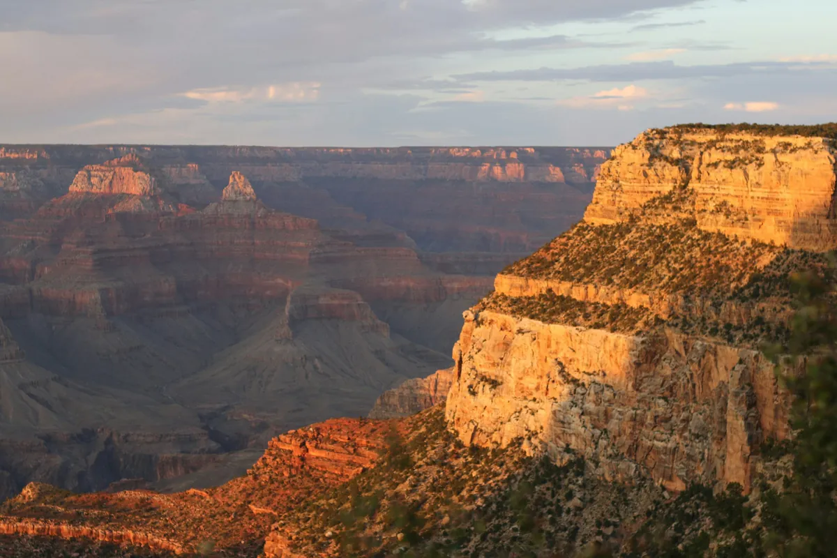 Arizona · Grand Canyon South Rim
Grand Canyon Road Trip Guide
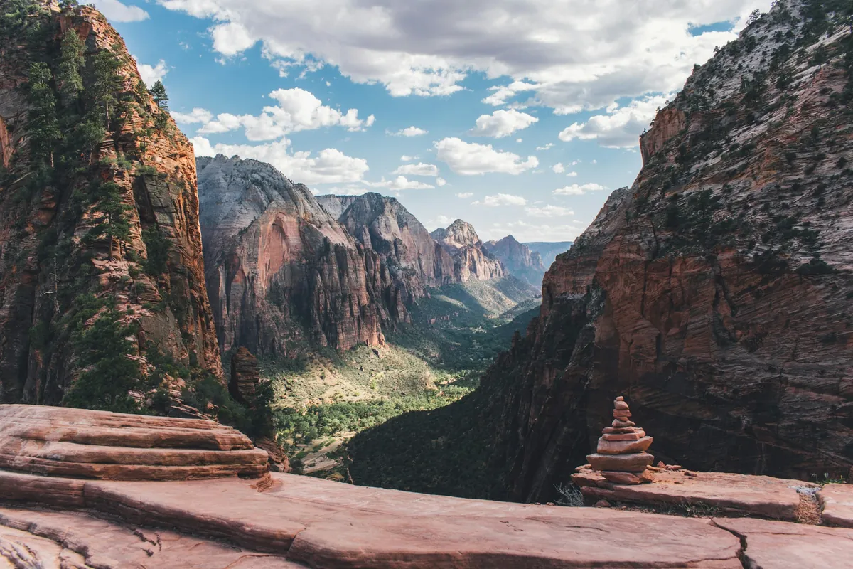 Utah · Zion
Zion National Park in One Day (2026)
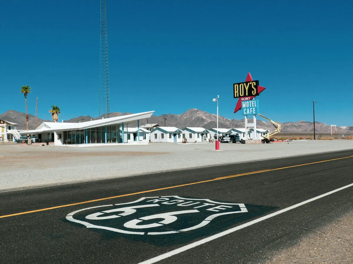 Route 66 · The West
Route 66 at 100: West End Road Trip 2026 — Santa Monica to Williams, Closures & Fuel
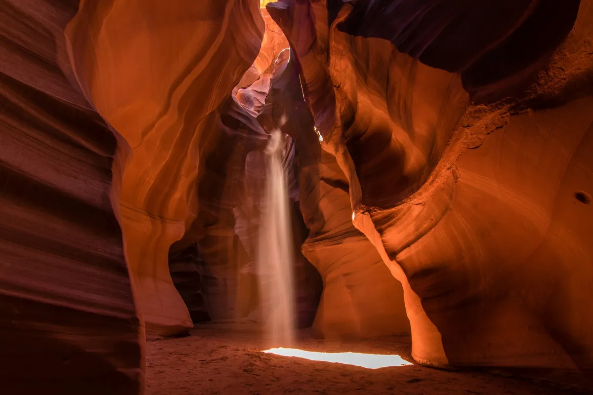 Arizona · Antelope Canyon · Horseshoe Bend
Antelope Canyon & Horseshoe Bend in Winter 2026: Upper vs Lower, Prices, Rules & the Time-Zone Trap
Data sources
Route: computed by OSRM from OpenStreetMap data (© OpenStreetMap contributors, ODbL). Gas stations: Overture Maps Foundation (CDLA-Permissive-2.0/CC0). Fast chargers: U.S. DOE AFDC (CC0). Base map: OpenFreeMap, © OpenMapTiles. Drive times assume normal traffic and exclude stops, queues and roadwork.
General information only. Rules change; check official notices before you go.