Highway 1 through Big Sur was cut off for three years and fully reopened on January 14, 2026. This route follows the coast south from San Francisco through Monterey, Carmel, Big Sur, the elephant seal vista, San Luis Obispo and Santa Barbara to Los Angeles.
San Francisco → Half Moon Bay → Santa Cruz → Monterey
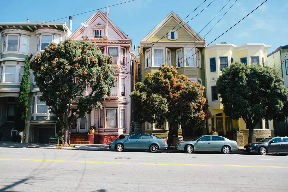
Leave San Francisco on Highway 1 through Half Moon Bay and Santa Cruz to Monterey. Parking on San Francisco's hills? Curb your wheels the right way.
- 176 gas stations within 1 mile
- Longest stretch without gas: about 46 miles
- 68 DC fast charging stations
Monterey → Carmel → Big Sur → elephant seals → Cambria
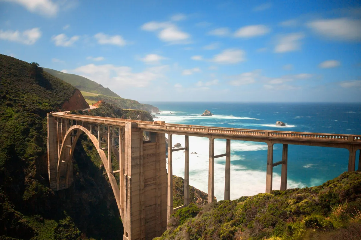
A full day in Big Sur. Both ends of Bixby Bridge are no-parking; the state park with McWay Falls is open, but the beach below the falls is closed, so stay behind the fence. One station in central Big Sur charges close to $10 a gallon, so fill up in Carmel first.
- 20 gas stations within 1 mile
- Longest stretch without gas: about 35 miles
- 2 DC fast charging stations
Cambria → San Luis Obispo → Santa Barbara
An easy day: through San Luis Obispo and south on US-101, reaching Santa Barbara by late afternoon.
- 95 gas stations within 1 mile
- 44 DC fast charging stations
Santa Barbara → Malibu → Santa Monica
Along the coast through Malibu to Santa Monica. When parking in LA, read the curb color and signs first; in many cities, EV spaces are only for cars that are actively charging.
- 104 gas stations within 1 mile
- 35 DC fast charging stations
Guides for this route
 California · Highway 1 · Big Sur
Big Sur 2026: Highway 1 Reopened After 3 Years — One-Way Zones, Bixby Bridge No Parking, $10 Gas
 Parking
California Street Parking in 6 Questions: Curb Colors, 20-Foot Crosswalk Rule, Hydrants & Hills
Data sources
Route: computed by OSRM from OpenStreetMap data (© OpenStreetMap contributors, ODbL). Gas stations: Overture Maps Foundation (CDLA-Permissive-2.0/CC0). Fast chargers: U.S. DOE AFDC (CC0). Base map: OpenFreeMap, © OpenMapTiles. Drive times assume normal traffic and exclude stops, queues and roadwork.
General information only. Rules change; check official notices before you go.