Day one enters through Pahrump for Zabriskie Point, Badwater Basin and Artists Drive; day two visits the dunes and returns through Beatty and the Rhyolite ghost town. The park has only 3 gas stations and no fast chargers, so every fuel stop is marked.
Las Vegas → Pahrump → Zabriskie Point → Badwater Basin → Furnace Creek
Leave before dawn and fill up in Pahrump. Sunrise at Zabriskie Point, Badwater Basin (the lowest point in North America) in the morning, then the one-way Artists Drive on the way back (no vehicles over 25 feet). Stay at Furnace Creek.
- 59 gas stations within 1 mile
- Longest stretch without gas: about 92 miles
- 8 DC fast charging stations
Furnace Creek → Stovepipe Wells dunes → Beatty → Rhyolite → Las Vegas
Mesquite Flat Sand Dunes early, then over Daylight Pass to Beatty, Nevada, with a stop at the Rhyolite ghost town, and back to Las Vegas on US-95. The Stovepipe Wells station sells only 87-octane gas, no diesel.
- 120 gas stations within 1 mile
- Longest stretch without gas: about 42 miles
- 18 DC fast charging stations
Guides for this route
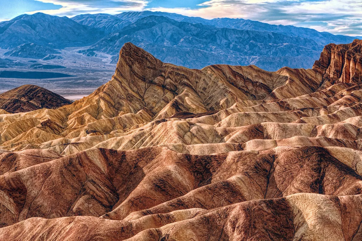 California · Death Valley
Death Valley Road Trip 2026: 7 Mistakes to Avoid (Fees, GPS, Gas & Breakdowns)
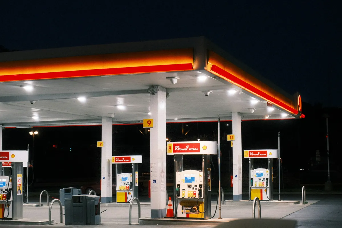 Fuel
How to Buy Gas in the US with a Foreign Card: ZIP Code Problem, 87 vs 91, Price per Liter (2026)
Data sources
Route: computed by OSRM from OpenStreetMap data (© OpenStreetMap contributors, ODbL). Gas stations: Overture Maps Foundation (CDLA-Permissive-2.0/CC0). Fast chargers: U.S. DOE AFDC (CC0). Base map: OpenFreeMap, © OpenMapTiles. Drive times assume normal traffic and exclude stops, queues and roadwork.
General information only. Rules change; check official notices before you go.